


The most-read articles on Planetizen in 2024.
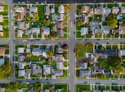
It’s the time of year for reflection and looking back, including us here at Planetizen. This year, our readers were most interested in stories that offered analyses and solutions to the housing crisis, commentaries on the election and its possible impacts on planning issues including transportation and housing, and the growing threat of climate-induced disasters.
While a degree of virality—exponential growth of traffic due to the cascading effects of sharing on social media and elsewhere on the internet—is a common component among most of these popular posts, their popularity points to the issues that are at the top of planners’ minds.
Exclusive Articles
- The City of Broken Sidewalks (December 2024)
- To Build More Housing, Cities Must Be Smarter in How They Use Land (December 2024)
- Not a Walk in the Park: What It Really Takes to Build Green Spaces (October 2024)
- How Did We Get Here? Housing Policy and Planners’ Role in Shaping Regional Growth and Prosperity (November 2024)
- Commentary: New Bill Holds Key to Solving US Housing Crisis. We Just Have to Pass It. (October 2024)
- Commentary: How Can We Solve America’s Affordable Housing Crisis? CDFIs are the Key (October 2024)
- Bridging Divides: The Crucial Role of Collaboration in Highway Removal (November 2024)
- Shifts in Shopping: Transforming Malls Into Parks (December 2024)
- Opinion: “New Towns” Are the Answer to Affordable Housing Challenges (November 2024)
- The 100-Year Road to Car Dependency in the US (October 2024)
Blog Posts
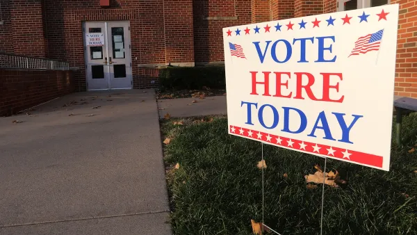
- Where 2024 Presidential Candidates Stand on 12 Issues Important to Urban Planners (October 2024)
- The 15 Fastest-Growing Cities in the US (June 2024)
- Progressive Planning in Ideologically Conservative Communities (November 2024)
- Planning for True Transportation Affordability: Beyond Common Misconceptions (November 2024)
- Project 2025 and Housing Policy (August 2024)
- The News Is Not All Bad (November 2024)
- Evaluating Transportation Affordability: How Planners Can Better Respond to Demands for Lower Cost Travel (October 2024)
- Congestion Pricing: New York City’s Next Hero (January 2024)
- How Would Project 2025 Affect America’s Transportation System? (September 2024)
- How the Built Environment Affects Your Mood (October 2024)
News Posts
- Seattle Legalizes Co-Living (December 2024)
- Central Florida’s SunRail Plans Major Expansion (November 2024)
- Seattle Could End Restrictions on Co-Living (September 2024)
- Las Vegas Golf Course to Become Over 1,000 Units of Affordable Housing (November 2024)
- 20 Major US Cities Most and Least Threatened by Climate Change (January 2024)
- NYC Officials Announce Broadway Pedestrianization Project (December 2024)
- Biden Administration Moves to Protect Alaskan Refuge From Drilling (November 2024)
- Denver's New High-Rise Integrates Vertical Canyon in Architectural Design (November 2024)
- The Future of Electric Vehicles Under Trump (November 2024)
- Amtrak Expanding Service in California’s Central Valley (November 2024)
Planopedia
Planetizen has published over 100 definitions of common urban planning terms since the beginning of 2020, and the definition pages have quickly established themselves as popular resources. Where the previous posts identified the intensity of more topical interests, the posts below reflect a more lasting and ongoing interest in more foundational information about planning. These are the questions people are asking to inform their understanding of the world of planning.
- What Is Levittown? - Known as the archetypal post-war American suburb, Levittown was the first mass-produced housing development and set a standard for planned subdivisions for decades to come.
- What Is Regional Planning? - Regional planning addresses planning issues that cross local jurisdictional boundaries, like transportation or watershed protection.
- What Is Walkability? - Walkability refers to the ability to safely walk to services and amenities within a reasonable distance, usually defined as a walk of 30 minutes or less.
- What Is the Garden City Movement? - Born as a reaction to the crowded, dirty conditions in turn-of-the-century London and other industrial cities, the Garden City movement offers an idealized planned community designed to join elements of town and country.
- What Are Le Corbusier's Towers in the Park? - “Towers in the Park” is a style of high-rise housing complex defined by clusters of high-rise residential buildings surrounded by green space and aimed to provide dense, low-cost housing for urban workers while reducing congestion.
- What Is a Woonerf? - Translated as “living street,” a woonerf employs strategies like traffic calming devices and low speed limits to force drivers to slow down and safely share street space with pedestrians, cylists, and others, often without raised curbs separating cars and pedestrians.
- What Is Infill Development? - Billed as an alternative to urban sprawl, infill development encourages the development of underused or vacant land in existing urban areas to increase density and place new development near existing resources and infrastructure.
- What Is Mixed-Use Development? - Mixed-use development incorporates two or more uses into the same building, or in the same general area.
- What Is a Suburb? - Another term lacking a consensus definition in the field of planning, "suburb" is usually deployed to describe residential communities outside central urban areas.
- What Is Car-Centric Planning? - 'Car-centric planning' refers to urban planning that privileges the private automobile as a primary transportation mode, often to the exclusion of people who walk, bike, or use public transit.

November Must-Reads: Top 10 Articles From Last Month
The future of planning in the second Trump administration, housing policy, and highway removal — here are Planetizen’s most popular headlines from November 2024.

Planetizen’s Top Posts of 2023
The most-read articles on Planetizen in 2023.
The Least Popular Planning Articles of 2019
An unscientific dip into Planetizen traffic data for the first three months of 2019 reveals the planning stories readers couldn't care less about.

National Parks Layoffs Will Cause Communities to Lose Billions
Thousands of essential park workers were laid off this week, just before the busy spring break season.

Retro-silient?: America’s First “Eco-burb,” The Woodlands Turns 50
A master-planned community north of Houston offers lessons on green infrastructure and resilient design, but falls short of its founder’s lofty affordability and walkability goals.

Delivering for America Plan Will Downgrade Mail Service in at Least 49.5 Percent of Zip Codes
Republican and Democrat lawmakers criticize the plan for its disproportionate negative impact on rural communities.

Test News Post 1
This is a summary

Test News Headline 46
Test for the image on the front page.

Balancing Bombs and Butterflies: How the National Guard Protects a Rare Species
The National Guard at Fort Indiantown Gap uses GIS technology and land management strategies to balance military training with conservation efforts, ensuring the survival of the rare eastern regal fritillary butterfly.
Urban Design for Planners 1: Software Tools
This six-course series explores essential urban design concepts using open source software and equips planners with the tools they need to participate fully in the urban design process.
Planning for Universal Design
Learn the tools for implementing Universal Design in planning regulations.
EMC Planning Group, Inc.
Planetizen
Planetizen
Mpact (formerly Rail~Volution)
Great Falls Development Authority, Inc.
HUDs Office of Policy Development and Research
NYU Wagner Graduate School of Public Service