


Esri offers insights into five new ways to analyze the success of transit service in cities of all kinds.
"Who are the people served by your city’s transit system? And who isn’t, but should be? How does transit change throughout the day? And what is the best way to analyze service areas?" These are the type of questions communities should be asking as they invest in public transit, according to Jennifer Bell, writing a post for Esri. The article explains the concepts behind five new ways to look at transit, as enabled by transit analysis technology.
- "Use Service Areas instead of Buffers."
- Transit trips per hour.
- Travel times changing during the day.
- Travel times to destinations.
- Adding demographic variables.
The article also includes a story map to illustrate these new ways looking at transit when examining a case study provided transit access to public libraries in Chicago, Illinois and transit availability in Ann Arbor, Michigan.
FULL STORY: 5 New Ways to View Transit

New Frequent Buses Will Arrive More Frequently in Seattle
A few weeks after a major restructure of bus service, King County Metro Transit in Seattle is adding additional bus trips to a few particularly crowded lines.

MBTA Announces Improved Bus Frequencies, Redesigned Route Map in Boston
A large system redesign is nearing implementation in and around Boston, but the new system map will require more drivers than the MBTA currently employs.
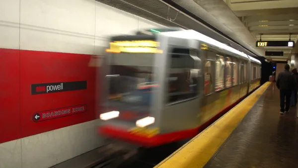
Latest 'Muni Forward' Changes Mean Route Changes, Frequency Improvements
Muni will soon launch the fourth phase of improvement to San Francisco's transit system.

National Parks Layoffs Will Cause Communities to Lose Billions
Thousands of essential park workers were laid off this week, just before the busy spring break season.

Retro-silient?: America’s First “Eco-burb,” The Woodlands Turns 50
A master-planned community north of Houston offers lessons on green infrastructure and resilient design, but falls short of its founder’s lofty affordability and walkability goals.

Delivering for America Plan Will Downgrade Mail Service in at Least 49.5 Percent of Zip Codes
Republican and Democrat lawmakers criticize the plan for its disproportionate negative impact on rural communities.

Test News Post 1
This is a summary

Test News Headline 46
Test for the image on the front page.

Balancing Bombs and Butterflies: How the National Guard Protects a Rare Species
The National Guard at Fort Indiantown Gap uses GIS technology and land management strategies to balance military training with conservation efforts, ensuring the survival of the rare eastern regal fritillary butterfly.
Urban Design for Planners 1: Software Tools
This six-course series explores essential urban design concepts using open source software and equips planners with the tools they need to participate fully in the urban design process.
Planning for Universal Design
Learn the tools for implementing Universal Design in planning regulations.
EMC Planning Group, Inc.
Planetizen
Planetizen
Mpact (formerly Rail~Volution)
Great Falls Development Authority, Inc.
HUDs Office of Policy Development and Research
NYU Wagner Graduate School of Public Service