


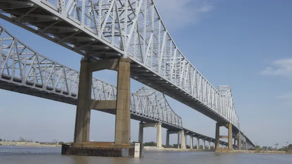
New Orleans could create the largest stretch of public riverfront in the U.S., thanks to a public land swap.

A vision to develop a contiguous public parkway along the New Orleans riverfront originated in the 2008 Reinventing the Crescent plan. Now, a missing piece of the proposed stretch of land has become available through an agreement between the Port of New Orleans and the Public Belt Railroad to trade riverfront properties. Jackson Rollings writes in the Architect's Newspaper:
In the swap, PNO took ownership of a stretch of railroad along the Mississippi River and PBR took ownership of two large wharves–Esplanade Avenue and Governor Nicholls Street Wharves. PBR is owned by the City of New Orleans, which now plans to redevelop both wharves as public space (à la Mandeville Wharf). This redevelopment will connect two existing riverfront parks, Bywater’s Crescent Park and the French Quarter’s Woldenburg Park.
The new park is one of several major redevelopments slated for the Mississippi River waterfront, coming to hundreds of millions of dollars. The city began a resurgence of park-building activity in 2014.
FULL STORY: New Orleans property swap may yield largest public riverfront in the U.S.


Louisiana Coast Will Disappear, Study Says. The Only Question Is How Soon.
Sea-level rise has passed a tipping point in the Gulf of Mexico.

Ensuring Equity in Memphis Riverfront Development
One of the city’s biggest assets is its riverfront, but equity and inclusion need to be an important part of what development brings to residents and communities.
As the Mississippi River Rises, So Does the Threat to New Orleans
Climate change and channelization have made high water levels the norm along the river. But low-lying New Orleans lies in its path, and the consequences could be monumental.

National Parks Layoffs Will Cause Communities to Lose Billions
Thousands of essential park workers were laid off this week, just before the busy spring break season.

Retro-silient?: America’s First “Eco-burb,” The Woodlands Turns 50
A master-planned community north of Houston offers lessons on green infrastructure and resilient design, but falls short of its founder’s lofty affordability and walkability goals.

Delivering for America Plan Will Downgrade Mail Service in at Least 49.5 Percent of Zip Codes
Republican and Democrat lawmakers criticize the plan for its disproportionate negative impact on rural communities.

Test News Post 1
This is a summary

Test News Headline 46
Test for the image on the front page.

Balancing Bombs and Butterflies: How the National Guard Protects a Rare Species
The National Guard at Fort Indiantown Gap uses GIS technology and land management strategies to balance military training with conservation efforts, ensuring the survival of the rare eastern regal fritillary butterfly.
Urban Design for Planners 1: Software Tools
This six-course series explores essential urban design concepts using open source software and equips planners with the tools they need to participate fully in the urban design process.
Planning for Universal Design
Learn the tools for implementing Universal Design in planning regulations.
EMC Planning Group, Inc.
Planetizen
Planetizen
Mpact (formerly Rail~Volution)
Great Falls Development Authority, Inc.
HUDs Office of Policy Development and Research
NYU Wagner Graduate School of Public Service