


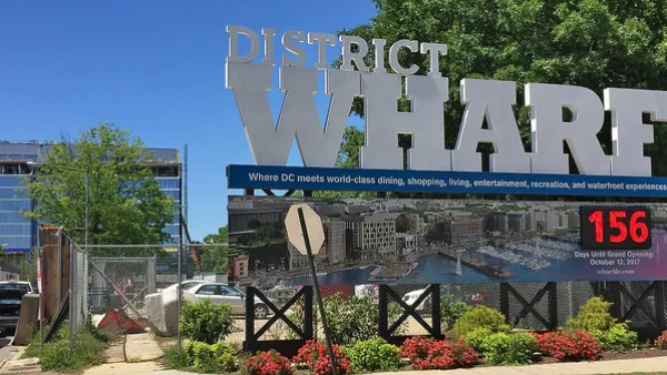
A new development in Washington, D.C. features the largest "shared space" in the United States.
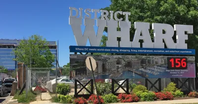
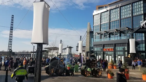
The Wharf, a new mixed-use development in southwest Washington, D.C., features a "shared street." At 60 feet wide and several blocks long, the right-of-way is carefully designed to allow vehicular traffic while favoring pedestrians. Although the development has only been open for a short time, the street is performing as expected.
Designed by Stan Eckstut of Ehrenkrantz Eckstut & Kuhn, the street is carefully calibrated to be pedestrian-friendly first and foremost. Vehicles are somewhat restricted thought not forbidden. A benefit of little traffic on Wharf Street is it allows for truck deliveries,
Wharf Street includes an array of street furniture, granite bollards, stripes of pavement and other design features visibly make the pedestrian at home and discourage vehicle speed. The street is even served by a cycletrack.
Even alleys that branch off Wharf Street are pedestrian-friendly. Blair Alley runs between an apartment building and an office building and provides truck docks for both buildings. Nearby Water Street acts as an alley, even hosting a scattering of shops. And like Blair Alley, Water Street provides a meaningful pedestrian connection to the waterfront.
FULL STORY: A Radical Mixing of Cars and People Works as Planned

Designing for Dementia
Subtle design interventions can facilitate safe navigation in urban environments for people with cognitive abilities effected by dementia.
Has Washington, D.C. Finally Figured Out the Waterfront?
Looking back to evaluate the potential of the present.
D.C.'s Wharf Makes the City's Housing Problems Worse
Did The Wharf, a new mixed use mega project in Washington, D.C., deliver enough public benefit to warrant its large public subsidy?

National Parks Layoffs Will Cause Communities to Lose Billions
Thousands of essential park workers were laid off this week, just before the busy spring break season.

Retro-silient?: America’s First “Eco-burb,” The Woodlands Turns 50
A master-planned community north of Houston offers lessons on green infrastructure and resilient design, but falls short of its founder’s lofty affordability and walkability goals.

Delivering for America Plan Will Downgrade Mail Service in at Least 49.5 Percent of Zip Codes
Republican and Democrat lawmakers criticize the plan for its disproportionate negative impact on rural communities.

Test News Post 1
This is a summary

Test News Headline 46
Test for the image on the front page.

Balancing Bombs and Butterflies: How the National Guard Protects a Rare Species
The National Guard at Fort Indiantown Gap uses GIS technology and land management strategies to balance military training with conservation efforts, ensuring the survival of the rare eastern regal fritillary butterfly.
Urban Design for Planners 1: Software Tools
This six-course series explores essential urban design concepts using open source software and equips planners with the tools they need to participate fully in the urban design process.
Planning for Universal Design
Learn the tools for implementing Universal Design in planning regulations.
EMC Planning Group, Inc.
Planetizen
Planetizen
Mpact (formerly Rail~Volution)
Great Falls Development Authority, Inc.
HUDs Office of Policy Development and Research
NYU Wagner Graduate School of Public Service