


The transit map is useful, but doesn't always capture the scale of the engineering feat that produced the world's subways systems.
An article by David Montgomery starts with a simple enough question: "[W]hat would it look like if, high above the skyline, you could actually see where trains were shuttling people around?"
That is, what if subway lines were visible from high above?
"A group of digital artists is revealing just that, using photos taken from airplane windows to highlight the real footprint of metro systems in cities around the world," writes Montgomery. Artists began creating the images and posting them online in 2013, starting with an image of New York by a Serbian artist going by the username "Arnorrian."
A new image of Paris gained viral popularity on Reddit, and now transit fans have created similar images of Budapest, Milan, Cologne, and London.
Montgomery includes the best examples in the source article.
FULL STORY: Getting a Bird’s Eye View of the World’s Subway Systems

Friday Eye Candy: The World's Subway Systems, If You Could See Them From Above
Have you ever flown over a city and imagined all the subway lines running beneath the surface?
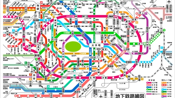
Friday Eye Candy: Subway-Style Maps That Explain Everything
Ok maybe not everything, everything—but the recognizable tropes of subway maps do make it easier to explain everything from the development of cities to musical styles to interstellar scale.
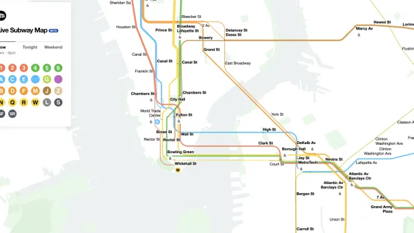
The New New York Subway Map Works in Real Time
There's a new chapter, and maybe an end, for the "Great Subway Map Debate."

National Parks Layoffs Will Cause Communities to Lose Billions
Thousands of essential park workers were laid off this week, just before the busy spring break season.

Retro-silient?: America’s First “Eco-burb,” The Woodlands Turns 50
A master-planned community north of Houston offers lessons on green infrastructure and resilient design, but falls short of its founder’s lofty affordability and walkability goals.

Delivering for America Plan Will Downgrade Mail Service in at Least 49.5 Percent of Zip Codes
Republican and Democrat lawmakers criticize the plan for its disproportionate negative impact on rural communities.

Test News Post 1
This is a summary

Test News Headline 46
Test for the image on the front page.

Balancing Bombs and Butterflies: How the National Guard Protects a Rare Species
The National Guard at Fort Indiantown Gap uses GIS technology and land management strategies to balance military training with conservation efforts, ensuring the survival of the rare eastern regal fritillary butterfly.
Urban Design for Planners 1: Software Tools
This six-course series explores essential urban design concepts using open source software and equips planners with the tools they need to participate fully in the urban design process.
Planning for Universal Design
Learn the tools for implementing Universal Design in planning regulations.
EMC Planning Group, Inc.
Planetizen
Planetizen
Mpact (formerly Rail~Volution)
Great Falls Development Authority, Inc.
HUDs Office of Policy Development and Research
NYU Wagner Graduate School of Public Service