


A series of new investments in the civic realm aren’t enough—some in Wheaton, Maryland want the community to catch up with its neighbors in providing a walkable town center.
Danielle E. Gaines reports from the Montgomery County, Maryland community of Wheaton, which is making plans to redesign its downtown to join neighbors like Bethesda, Rockville, and Silver Spring in pursuing a more urban vision for the future.
A recent "What’s Next for Wheaton" forum gave residents a chance to consider the possibilities of the projects like the $180 million Wheaton Revitalization Project, "which will provide a government office building to serve as the new county Planning Department headquarters, 12,000-square feet of retail space, a below-ground parking garage, town square and park," according to Gaines. "Other major projects are underway or recently completed, as well. The Wheaton Community Recreation Center and a renovated library are slated to open next spring."
But that's not all. According to Gaines, some residents are pushing for even more trappings of a more urban environment, such as new pedestrian infrastructure, wider sidewalks, traffic calming, and dedicated bike lanes. Gwen Wright, director of the Montgomery County Planning Department even suggested a woonerf: closing Reedie Drive, "where it crosses the planned town plaza, remaining open only from Georgia Avenue to Triangle Lane to allow access to local businesses."
FULL STORY: Is Wheaton Ready for an Arts Center? A Woonerf?

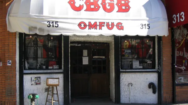
Opinion: Lower Rents Will Give Downtown Spaces Back to the ‘Weirdos’
Introducing the “CBGB theory of city planning.”

East Lansing Parking Plan Aims for Walkability
East Lansing wants to ditch some of its surface parking to encourage economic activity and walkability.

The Once-in-a-Generation Opportunity to Remake Downtown
Urban cores around the country were transforming into live, work, and play destinations before the pandemic. The pandemic was a setback for this transformation, but it could also be a rare opportunity. It’s up to city leadership to seize it.

National Parks Layoffs Will Cause Communities to Lose Billions
Thousands of essential park workers were laid off this week, just before the busy spring break season.

Retro-silient?: America’s First “Eco-burb,” The Woodlands Turns 50
A master-planned community north of Houston offers lessons on green infrastructure and resilient design, but falls short of its founder’s lofty affordability and walkability goals.

Delivering for America Plan Will Downgrade Mail Service in at Least 49.5 Percent of Zip Codes
Republican and Democrat lawmakers criticize the plan for its disproportionate negative impact on rural communities.

Test News Post 1
This is a summary

Test News Headline 46
Test for the image on the front page.

Balancing Bombs and Butterflies: How the National Guard Protects a Rare Species
The National Guard at Fort Indiantown Gap uses GIS technology and land management strategies to balance military training with conservation efforts, ensuring the survival of the rare eastern regal fritillary butterfly.
Urban Design for Planners 1: Software Tools
This six-course series explores essential urban design concepts using open source software and equips planners with the tools they need to participate fully in the urban design process.
Planning for Universal Design
Learn the tools for implementing Universal Design in planning regulations.
EMC Planning Group, Inc.
Planetizen
Planetizen
Mpact (formerly Rail~Volution)
Great Falls Development Authority, Inc.
HUDs Office of Policy Development and Research
NYU Wagner Graduate School of Public Service