


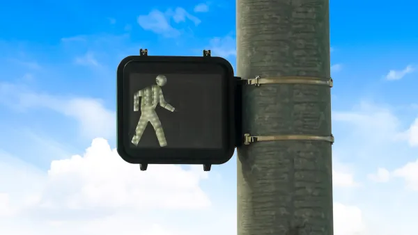
In the state that’s the most deadly for pedestrians, black pedestrians are 72% more likely to be the victims of a car crash than whites.
Florida is the most dangerous state for pedestrians, but it’s 72% more dangerous for black pedestrians. "Of the 20 worst metropolitan areas to walk in, nine are in the Sunshine State, with the Orlando-Kissimmee-Sanford metroplex listed as the deadliest area in the country for pedestrians," according to an article in the Florida Courier.
While the state could benefit from better design and basic infrastructure, like crosswalks in numerous communities, these resources are particularly lacking in black communities. “Unnecessarily wide lanes encourage high speeds ‒ a major factor in the likelihood of surviving a collision ‒ and many streets are designed with wide turning lanes that allow cars to make right turns through crosswalks at high speeds,” according to the article.
Beyond systematic funding issues, there is also research documenting the behavior of individual drivers: "Research by the University of Nevada has shown that drivers are significantly more likely to yield to a White pedestrian in a crosswalk than to a Black pedestrian."
FULL STORY: WALKING WHILE BLACK IN FLORIDA IS A KILLER

Traffic Safety Efforts Chug Ahead — Too Slowly for Some
Around the United States, traffic deaths are growing or plateauing, yet efforts to make roads safer still face political opposition.
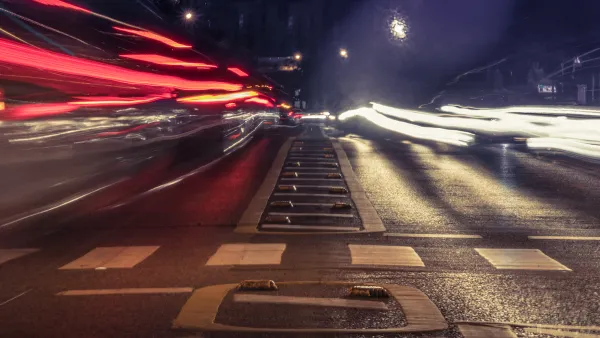
The Vicious Cycle at the Heart of Pedestrian Safety
When people feel unsafe, they walk less; with fewer pedestrians, walking becomes less safe.
DIY Crosswalks Appear in Hollywood
A group claiming the city of Los Angeles fails to protect pedestrians is taking action on their own, painting a set of crosswalks at a busy residential intersection.
National Parks Layoffs Will Cause Communities to Lose Billions
Thousands of essential park workers were laid off this week, just before the busy spring break season.

Retro-silient?: America’s First “Eco-burb,” The Woodlands Turns 50
A master-planned community north of Houston offers lessons on green infrastructure and resilient design, but falls short of its founder’s lofty affordability and walkability goals.

Delivering for America Plan Will Downgrade Mail Service in at Least 49.5 Percent of Zip Codes
Republican and Democrat lawmakers criticize the plan for its disproportionate negative impact on rural communities.

Test News Post 1
This is a summary

Test News Headline 46
Test for the image on the front page.

Balancing Bombs and Butterflies: How the National Guard Protects a Rare Species
The National Guard at Fort Indiantown Gap uses GIS technology and land management strategies to balance military training with conservation efforts, ensuring the survival of the rare eastern regal fritillary butterfly.
Urban Design for Planners 1: Software Tools
This six-course series explores essential urban design concepts using open source software and equips planners with the tools they need to participate fully in the urban design process.
Planning for Universal Design
Learn the tools for implementing Universal Design in planning regulations.
EMC Planning Group, Inc.
Planetizen
Planetizen
Mpact (formerly Rail~Volution)
Great Falls Development Authority, Inc.
HUDs Office of Policy Development and Research
NYU Wagner Graduate School of Public Service