


Maps of planned, never built, and defunct transit systems in cities from Cleveland to Atlanta and Phoenix back to Cincinnati are for sale.

Nick Swartsell shares the work of artist and transit enthusiast Jake Merman, who creates maps of "lost" subways and streetcar systems. These maps include systems that have been ripped out, and many that were planned and never built.
"He's drawn maps of Detroit's streetcar system circa 1950, a 1997 monorail proposal in Seattle, Cleveland's Electric Interurban Railway circa 1898 and a number of others," writes Swartsell.
Swartsell's specific interest in Merman's work stems from two maps of Cincinnati. "One shows Cincinnati's ill-fated subway system, color-coded by sections of the proposed 16-mile loop that still exist today, those that were built but later demolished and those that never left the drawing board, along with proposed connections to streetcars," explains Swartsell. "Berman's other Cincinnati-centric map features the 2002 Metro Moves initiative, a vast multi-modal transit system that would have been financed with a half-cent Hamilton County sales tax increase."
FULL STORY: Check Out These Cincinnati Transit Maps That Could Have Been


Minnesota, Vermont Experiment With Rural Trip Planning Websites
Pilot programs in the two states aimed to make transit information more accessible for riders in rural areas, where on-demand and microtransit services make trip planning more complex.

Excerpt: How Individualism Harms Public Transit
Jarrett Walker calls for a more social approach to transit planning.
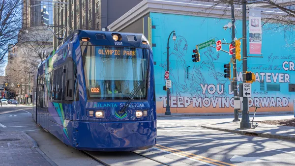
Atlanta Launches Regional Transit App
The app streamlines transit information from the region’s sometimes disjointed public transit system, which covers 13 counties.

National Parks Layoffs Will Cause Communities to Lose Billions
Thousands of essential park workers were laid off this week, just before the busy spring break season.

Retro-silient?: America’s First “Eco-burb,” The Woodlands Turns 50
A master-planned community north of Houston offers lessons on green infrastructure and resilient design, but falls short of its founder’s lofty affordability and walkability goals.

Delivering for America Plan Will Downgrade Mail Service in at Least 49.5 Percent of Zip Codes
Republican and Democrat lawmakers criticize the plan for its disproportionate negative impact on rural communities.

Test News Post 1
This is a summary

Test News Headline 46
Test for the image on the front page.

Balancing Bombs and Butterflies: How the National Guard Protects a Rare Species
The National Guard at Fort Indiantown Gap uses GIS technology and land management strategies to balance military training with conservation efforts, ensuring the survival of the rare eastern regal fritillary butterfly.
Urban Design for Planners 1: Software Tools
This six-course series explores essential urban design concepts using open source software and equips planners with the tools they need to participate fully in the urban design process.
Planning for Universal Design
Learn the tools for implementing Universal Design in planning regulations.
EMC Planning Group, Inc.
Planetizen
Planetizen
Mpact (formerly Rail~Volution)
Great Falls Development Authority, Inc.
HUDs Office of Policy Development and Research
NYU Wagner Graduate School of Public Service