


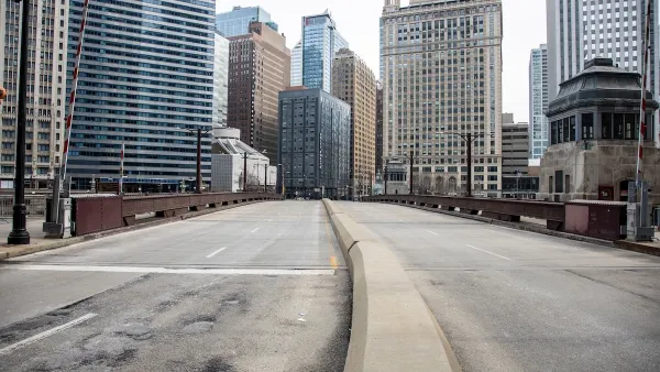
Phoenix has the zoning for more height in its downtown, and future development might finally yield a more recognizable skyline.

Grace Oldham reports from Phoenix to explain the city's short building stock compared to many other cities of comparable population and preview how recent zoning code changes could yield taller buildings on the city's skyline.
Oldham interviews Joshua Bednarek, Phoenix's deputy director of planning, on the subject of the city's shorter skyline. Bednarek gives credit to the automobile for spreading the city out, and preventing the development of a vertical downtown. "With infrastructure and technology allowing increased accessibility to the entire Valley, residential and business patterns never created pressure to develop work and living space in the city's core," writes Oldham.
The city also planned for a "village system" in the 1980s, spreading its highest buildings around the city, further ensuring that the city lacks big, signature skyscrapers. Still, Downtown Phoenix has emerged "as the hub of the polycentric system today much more so than in the past," according to Bednarek, and zoning changes in 2010 and 2015 could encourage new height in the downtown core.
FULL STORY: 'Polycentric city': Why doesn't downtown Phoenix have more skyscrapers?

Major US Cities Still Suffering Downtown Decline
Research shows that the “donut effect” hollowing out central business districts since the pandemic continues to cause economic decline in the 12 largest American cities.

The Future of Central Business Districts
Urbanist Richard Florida assesses post-pandemic possibilities for neighborhoods that once relied on 9-to-5 workers.
Most Downtowns Still Lagging Behind
Central districts have been surging back since the 1980s. But in most cities, the upper third of earners still favor outlying areas and are underrepresented closer to downtown.

National Parks Layoffs Will Cause Communities to Lose Billions
Thousands of essential park workers were laid off this week, just before the busy spring break season.

Retro-silient?: America’s First “Eco-burb,” The Woodlands Turns 50
A master-planned community north of Houston offers lessons on green infrastructure and resilient design, but falls short of its founder’s lofty affordability and walkability goals.

Delivering for America Plan Will Downgrade Mail Service in at Least 49.5 Percent of Zip Codes
Republican and Democrat lawmakers criticize the plan for its disproportionate negative impact on rural communities.

Test News Post 1
This is a summary

Test News Headline 46
Test for the image on the front page.

Balancing Bombs and Butterflies: How the National Guard Protects a Rare Species
The National Guard at Fort Indiantown Gap uses GIS technology and land management strategies to balance military training with conservation efforts, ensuring the survival of the rare eastern regal fritillary butterfly.
Urban Design for Planners 1: Software Tools
This six-course series explores essential urban design concepts using open source software and equips planners with the tools they need to participate fully in the urban design process.
Planning for Universal Design
Learn the tools for implementing Universal Design in planning regulations.
EMC Planning Group, Inc.
Planetizen
Planetizen
Mpact (formerly Rail~Volution)
Great Falls Development Authority, Inc.
HUDs Office of Policy Development and Research
NYU Wagner Graduate School of Public Service