


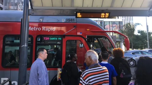
Metro is analyzing new geolocational data to look beyond conventional understandings of travel behavior.

Adam Rogers reports on efforts at the Los Angeles County Metropolitan Transportation Authority to better understand how people travel and the ways bus service could be revamped to meet these needs and entice people to switch modes.
Using locational data from cell phones, Conan Cheung at Metro found the expected morning and afternoon peaks related to schools and work. But the data also showed a third peak, one that is not commute related, says Rogers:
That was new. "What we know from traditional surveys is, people remember their biggest trips," [Anurag] Komanduri says. "But what people forget is 'I'm picking up the laundry,' 'I'm stopping to grab coffee.' We see more of these data captured by cell phones." Those trips, the futzing around of daily life, tend to happen in off-peak hours—from midday into the evening, 8 or 9 o'clock.
A closer look at these short trips compared transit and driving trip times. "Some 85 percent of trips could be taken on mass transit, but fewer than half were as fast as driving," writes Rogers. And when more comparisons were made using fare card data, Cheung discovered that on routes with the same travel time, only 13 percent of that travel happened on transit.
The challenge, says Rogers, is figuring out how to use and balance the incentives for transit use and the disincentives for driving—the carrots and the sticks. Improving transit service, increasing housing density, and implementing congestion pricing are all strategies that can help get people out of their cars.
But he also argues that Los Angeles needs to take bold steps to stop designing the city around driving. "This is the baller move: Stop making cars easy and everything else hard. Tear down some freeways. Make retail districts pedestrian-only. Strew commercial corridors with curbside parklets, protected bike lanes, scooter-share services, and apartment buildings with first-floor retail and no parking. Make it illegal to park on the street—on every street. Put buses and trains everywhere."
FULL STORY: LA’S PLAN TO REBOOT ITS BUS SYSTEM—USING CELL PHONE DATA

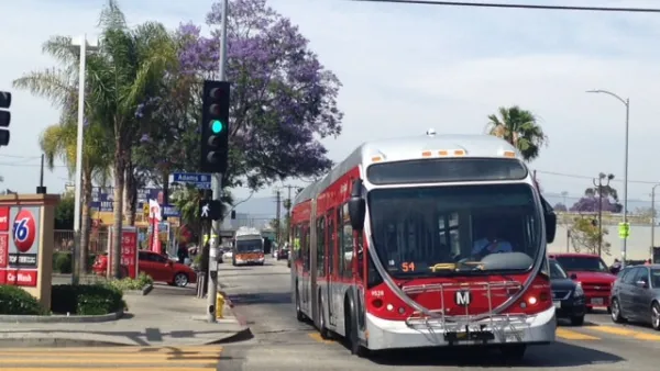
The Environmental Costs of Slow, Empty Buses
Flagging ridership on Metro buses in Los Angeles redoubles the need to speed buses up with dedicated lanes, hopefully recovering lost riders and finding some news ones along the way, too.

NextGen Bus Plan Approved in Los Angeles
Major changes are coming to the Metro bus system in the nation's second largest city. After three years of planning and public feedback, the Metro board has approved the NextGen bus plan.
Bus Ridership Declines Challenge Los Angeles
The Wall Street Journal reports that bus riders on the Los Angeles County Transportation Authority system has declined significantly in recent years.

National Parks Layoffs Will Cause Communities to Lose Billions
Thousands of essential park workers were laid off this week, just before the busy spring break season.

Retro-silient?: America’s First “Eco-burb,” The Woodlands Turns 50
A master-planned community north of Houston offers lessons on green infrastructure and resilient design, but falls short of its founder’s lofty affordability and walkability goals.

Delivering for America Plan Will Downgrade Mail Service in at Least 49.5 Percent of Zip Codes
Republican and Democrat lawmakers criticize the plan for its disproportionate negative impact on rural communities.

Test News Post 1
This is a summary

Test News Headline 46
Test for the image on the front page.

Balancing Bombs and Butterflies: How the National Guard Protects a Rare Species
The National Guard at Fort Indiantown Gap uses GIS technology and land management strategies to balance military training with conservation efforts, ensuring the survival of the rare eastern regal fritillary butterfly.
Urban Design for Planners 1: Software Tools
This six-course series explores essential urban design concepts using open source software and equips planners with the tools they need to participate fully in the urban design process.
Planning for Universal Design
Learn the tools for implementing Universal Design in planning regulations.
EMC Planning Group, Inc.
Planetizen
Planetizen
Mpact (formerly Rail~Volution)
Great Falls Development Authority, Inc.
HUDs Office of Policy Development and Research
NYU Wagner Graduate School of Public Service