


Communities need accurate maps and more access to data to increase flood resilience—but right now FEMA's not providing that.
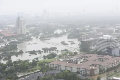
Across America, millions of families live in homes that are susceptible to flooding. And millions more could be at risk by the end of the century as the seas continue to rise and extreme weather events become more common. The National Flood Insurance Program (NFIP), for better or worse, plays a central role in the nation’s ability to address this growing threat.
Unfortunately, the federal flood insurance program has severe shortcomings—it has inaccurate and backward-looking flood maps, it’s not overly transparent about its flood risk and flood history data, and it doesn’t place enough emphasis on the importance of mitigation. These issues undermine everyone’s ability to accommodate and prepare for the damage wreaked to people’s homes by floods that are exacerbated by climate change. Homeowners and renters are left in the dark about their flood risk. This affects the community development field as well—affordable housing developers don’t have all the information they need to make siting and design decisions, and affordable housing lenders don’t have the information they need to appropriately underwrite flood-risk. This information gap distorts market signals, hinders fully informed decision making, and can lead to families being trapped in a nightmarish version of Groundhog Day: flooding, rebuilding, and repeating.
Congressional reform of the NFIP could help alleviate these problems, beginning with modernizing maps.
FULL STORY: The Uncertain Flood Zone


Rising Above: Innovative Solutions for Waikīkī’s Sea-Level Challenges
The University of Hawaiʻi at Mānoa’s award-winning Waikīkī sea-level rise adaptation project combines science, architecture, and community input to create scalable solutions for climate resilience and coastal flood mitigation.
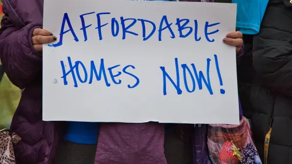
America’s Housing Crisis: Lessons Ignored and Challenges Ahead
A recent study reveals how decades of policy missteps, demographic shifts, and economic forces fueled America’s housing crisis, leaving millions — especially millennials — struggling amid rising demand, racial disparities, and climate-driven emergencies.
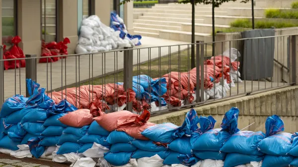
How US Communities Are Building Resilience Against Flooding
Flooding causes over $400 billion in damage in the United States every year.

National Parks Layoffs Will Cause Communities to Lose Billions
Thousands of essential park workers were laid off this week, just before the busy spring break season.

Retro-silient?: America’s First “Eco-burb,” The Woodlands Turns 50
A master-planned community north of Houston offers lessons on green infrastructure and resilient design, but falls short of its founder’s lofty affordability and walkability goals.

Delivering for America Plan Will Downgrade Mail Service in at Least 49.5 Percent of Zip Codes
Republican and Democrat lawmakers criticize the plan for its disproportionate negative impact on rural communities.

Test News Post 1
This is a summary

Test News Headline 46
Test for the image on the front page.

Balancing Bombs and Butterflies: How the National Guard Protects a Rare Species
The National Guard at Fort Indiantown Gap uses GIS technology and land management strategies to balance military training with conservation efforts, ensuring the survival of the rare eastern regal fritillary butterfly.
Urban Design for Planners 1: Software Tools
This six-course series explores essential urban design concepts using open source software and equips planners with the tools they need to participate fully in the urban design process.
Planning for Universal Design
Learn the tools for implementing Universal Design in planning regulations.
EMC Planning Group, Inc.
Planetizen
Planetizen
Mpact (formerly Rail~Volution)
Great Falls Development Authority, Inc.
HUDs Office of Policy Development and Research
NYU Wagner Graduate School of Public Service