


The city is behind plans to turn parking lots around the North Berkeley BART station into much-needed housing.

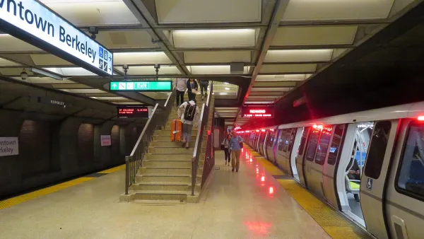
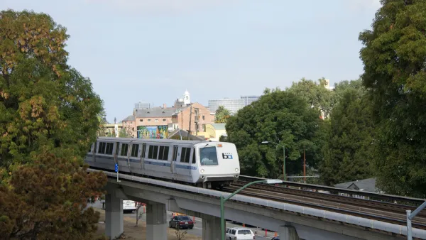
Berkeley, California, wants to be proactive about transit-oriented development around the Bay Area Rapid Transit station in North Berkeley, reports Jared Brey. Last year the state passed legislation requiring BART to develop height and density guidelines by 2022 for its land adjacent to stations, and this month the Berkeley city council voted to establish a memorandum of understanding with the agency about future planning.
City leaders would like to see less height along with less parking and more density. Some community members are also calling for 100 percent of the units to be affordable housing, but that would be a difficult outcome to achieve. “The site could end up being built out with hundreds of new housing units, at least a portion of which will be affordable for low-income residents,” says Brey.
The fact that the Berkeley community is supporting the planning process for the North Berkeley BART station is very positive, say BART representatives and city officials. “More developers are able to work with BART on transit-oriented projects than they were when the TOD program launched in the 1990s, [Abby] Thorne-Lyman [of BART] says. Land has gotten more valuable and the housing shortage has gotten worse. But BART’s standards for affordability and open space are high,” notes Brey.
FULL STORY: Berkeley, California, Plans for a Transit-Oriented Future

Planning Commission Calls for More Density at Berkeley BART Stations
Berkeley planning commissioners recommend taller buildings, more density as the city evaluates zoning changes near BART stations.
BART's Transit-Oriented Development Bill Sets Disturbing Precedent, Says APA
AB 2923, which would allow the Bay Area Rapid Transit District to rezone their properties near stations for transit-oriented development, passed its first committee. The California chapter of APA objects to the preemption of local land use authority.
Building in Affordability
Rebecca Cohen and Emily Salomon of the Center for Housing Policy examine existing policy tools to preserve and expand affordable housing near planned transit stations.

National Parks Layoffs Will Cause Communities to Lose Billions
Thousands of essential park workers were laid off this week, just before the busy spring break season.

Retro-silient?: America’s First “Eco-burb,” The Woodlands Turns 50
A master-planned community north of Houston offers lessons on green infrastructure and resilient design, but falls short of its founder’s lofty affordability and walkability goals.

Delivering for America Plan Will Downgrade Mail Service in at Least 49.5 Percent of Zip Codes
Republican and Democrat lawmakers criticize the plan for its disproportionate negative impact on rural communities.

Test News Post 1
This is a summary

Test News Headline 46
Test for the image on the front page.

Balancing Bombs and Butterflies: How the National Guard Protects a Rare Species
The National Guard at Fort Indiantown Gap uses GIS technology and land management strategies to balance military training with conservation efforts, ensuring the survival of the rare eastern regal fritillary butterfly.
Urban Design for Planners 1: Software Tools
This six-course series explores essential urban design concepts using open source software and equips planners with the tools they need to participate fully in the urban design process.
Planning for Universal Design
Learn the tools for implementing Universal Design in planning regulations.
EMC Planning Group, Inc.
Planetizen
Planetizen
Mpact (formerly Rail~Volution)
Great Falls Development Authority, Inc.
HUDs Office of Policy Development and Research
NYU Wagner Graduate School of Public Service