


The app is expanding to include information about public transit and micromobility options as part of Lyft’s goal to make travel easier.
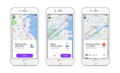
"In certain North American cities, dockless scooters, shared bikes, car rentals, and public transit options will now appear next to vehicle rides on the Lyft platform. Time and cost comparisons will also show up on the menu," writes Laura Bliss.
Lyft says its goal is to decrease car ownership by consolidating travel information on one platform, making it easier to access different modes. "In one sense, it’s logical that Lyft customers should be able to select from multiple modes in one place, since the company now offers so many of them. Its recent expansions in dockless scooters, bikeshare systems, and short-term car rentals (currently only available in California) are signs of its ambitions to be a one-stop mobility provider," says Bliss.
Uber recently started offering transit ticket sales through its app for Denver transit. Lyft users will not be able to buy tickets, but they will have access to route and fare information for 80 percent of transit routes in the United States, notes Bliss. "And, using a combination of route data provided by public agencies, and Lyft’s own predictive software, Lyft users will now be able to watch, on-screen, where and when transit vehicles will be arriving."
FULL STORY: Lyft’s New App Features Real-Time Public Transit Info

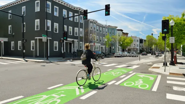
NACTO Releases Updated Urban Bikeway Guide
The third edition of the nationally recognized road design guide includes detailed design advice for roads that prioritize safety and accessibility for all users.
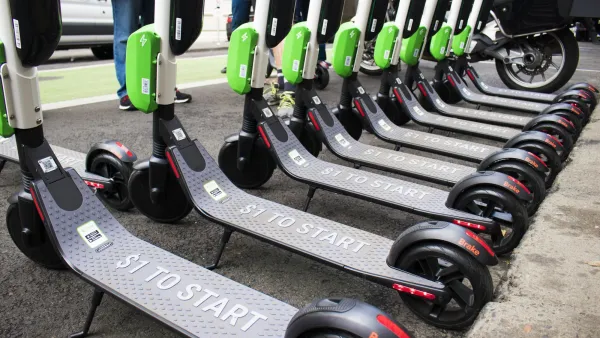
Report: Municipal Fees and Taxes Hinder Shared Micromobility Adoption
City taxes and fees on shared bikes and scooters are, on average, much higher per mile than similar taxes on cars.
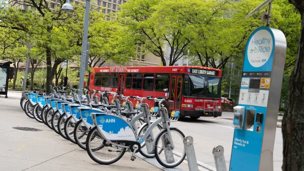
Micromobility Operators Call for Better Links to Transit
For shared mobility to succeed, systems must tap into the connectivity and funding potential offered by closer collaboration with public transit.

National Parks Layoffs Will Cause Communities to Lose Billions
Thousands of essential park workers were laid off this week, just before the busy spring break season.

Retro-silient?: America’s First “Eco-burb,” The Woodlands Turns 50
A master-planned community north of Houston offers lessons on green infrastructure and resilient design, but falls short of its founder’s lofty affordability and walkability goals.

Delivering for America Plan Will Downgrade Mail Service in at Least 49.5 Percent of Zip Codes
Republican and Democrat lawmakers criticize the plan for its disproportionate negative impact on rural communities.

Test News Post 1
This is a summary

Test News Headline 46
Test for the image on the front page.

Balancing Bombs and Butterflies: How the National Guard Protects a Rare Species
The National Guard at Fort Indiantown Gap uses GIS technology and land management strategies to balance military training with conservation efforts, ensuring the survival of the rare eastern regal fritillary butterfly.
Urban Design for Planners 1: Software Tools
This six-course series explores essential urban design concepts using open source software and equips planners with the tools they need to participate fully in the urban design process.
Planning for Universal Design
Learn the tools for implementing Universal Design in planning regulations.
EMC Planning Group, Inc.
Planetizen
Planetizen
Mpact (formerly Rail~Volution)
Great Falls Development Authority, Inc.
HUDs Office of Policy Development and Research
NYU Wagner Graduate School of Public Service