


A new model for expected sea-level rise raises alarms about the need to adapt to sea-level rise in coastal cities all over the world.

"Rising seas could affect three times more people by 2050 than previously thought, according to new research, threatening to all but erase some of the world’s great coastal cities," report Denise Lu and Christopher Flavelle.
Scott A. Kulp and Benjamin H. Strauss, researchers from Climate Central, published the new findings on the elevations of sea-level rise in the journal Nature Communications. According to the model produced in the study, 630 million people live in land below elevations projected for annual floods in the year 2100. "We estimate one billion people now occupy land less than 10 m above current high tide lines, including 250 M below 1 m," reads the study's abstract.
The article provides illustrations of the stark reality of such projections. "Southern Vietnam could all but disappear," for instance. "More than 20 million people in Vietnam, almost one-quarter of the population, live on land that will be inundated." Bangkok, Shanghai, Mumbai, Alexandria, and Basra will all be severely inundated by the end of the century according to the model.
FULL STORY: Rising Seas Will Erase More Cities by 2050, New Research Shows

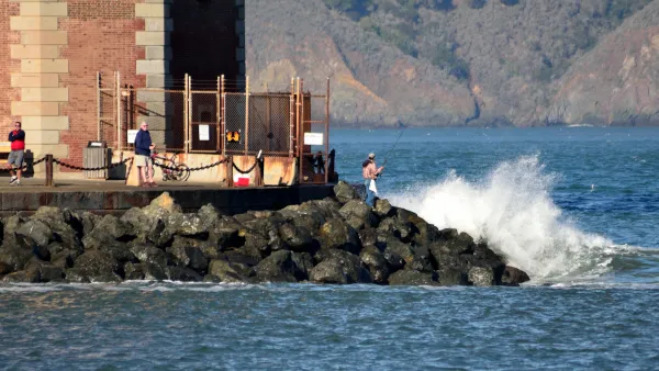
The Changing Risks of Coastal Communities
An excerpt from "A Blueprint for Coastal Adaptation: Uniting Design, Economics, and Policy," published in May by Island Press.

Life With Climate Change: A 100-Year Storm Every Year
The extreme weather events and sea-level rise of the relatively near future will overwhelm storm and flood infrastructure with startling regularity, according to new research.

Study: Oahu Could Lose 40 Percent of its Beaches by 2050
A new study calls for changes to coastal management policies to better protect sandy shorelines retreating under the pressure of rising sea levels.

National Parks Layoffs Will Cause Communities to Lose Billions
Thousands of essential park workers were laid off this week, just before the busy spring break season.

Retro-silient?: America’s First “Eco-burb,” The Woodlands Turns 50
A master-planned community north of Houston offers lessons on green infrastructure and resilient design, but falls short of its founder’s lofty affordability and walkability goals.

Delivering for America Plan Will Downgrade Mail Service in at Least 49.5 Percent of Zip Codes
Republican and Democrat lawmakers criticize the plan for its disproportionate negative impact on rural communities.

Test News Post 1
This is a summary

Test News Headline 46
Test for the image on the front page.

Balancing Bombs and Butterflies: How the National Guard Protects a Rare Species
The National Guard at Fort Indiantown Gap uses GIS technology and land management strategies to balance military training with conservation efforts, ensuring the survival of the rare eastern regal fritillary butterfly.
Urban Design for Planners 1: Software Tools
This six-course series explores essential urban design concepts using open source software and equips planners with the tools they need to participate fully in the urban design process.
Planning for Universal Design
Learn the tools for implementing Universal Design in planning regulations.
EMC Planning Group, Inc.
Planetizen
Planetizen
Mpact (formerly Rail~Volution)
Great Falls Development Authority, Inc.
HUDs Office of Policy Development and Research
NYU Wagner Graduate School of Public Service