


Like many American cities, the site of white supremacist unrest in 2017 has a long history of residential discrimination by race. This mapping project seeks to uncover the roots of today's disparities.
Following white supremacist demonstrations that shook the nation in 2017, Zoe Sullivan writes, "the Charlottesville Area Community Foundation created the Heal Charlottesville Fund. In 2018, that fund awarded nearly one million dollars to organizations and initiatives aimed at addressing systemic racism." One of this grants went to Mapping C'Ville, an ambitious effort to chart out just how racial convents discriminated against black homebuyers.
The project's creator Jordy Yager points to economist Raj Chetty's Opportunity Atlas, which ranked Charlottesville low in terms of residents' ability to escape poverty over their lifetimes. That indicates a "structural problem," Yager said. He went on, "your environment, where you live, is the number one predictor of what happens to you in life. If where we live determines what happens to you in life, why do we live where we live?"
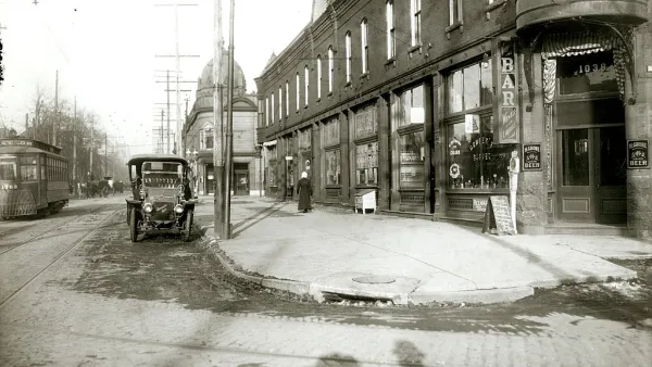
Mapping C'Ville has over 100 volunteers reviewing over 300,000 digitized property records and entering them into a searchable database. In addition to revealing the extent and effects of racial covenants, the project is also delving into how residential discrimination dovetails with infrastructural inequities and chronic underinvestment in black neighborhoods.
FULL STORY: Mapping Project Aims to Shed Light on Racial Covenants in Charlottesville

The History of Racial Zoning and Housing Discrimination in the US
More than a century of discriminatory housing policy divided cities and contributed to the racial wealth gap and other social and economic inequities.

The Numerous Obstacles—Past and Present—Facing Black Homeowners
Black Americans pay a higher price to be homeowners—and the number of those who can afford to pay that price is dropping quickly.

Reporters Go Undercover to Identify Housing Discrimination
A three-year investigation of the real estate industry on Long Island reveals rampant discriminatory practices and an industry complicit in the segregation of the communities that comprise the region.

National Parks Layoffs Will Cause Communities to Lose Billions
Thousands of essential park workers were laid off this week, just before the busy spring break season.

Retro-silient?: America’s First “Eco-burb,” The Woodlands Turns 50
A master-planned community north of Houston offers lessons on green infrastructure and resilient design, but falls short of its founder’s lofty affordability and walkability goals.

Delivering for America Plan Will Downgrade Mail Service in at Least 49.5 Percent of Zip Codes
Republican and Democrat lawmakers criticize the plan for its disproportionate negative impact on rural communities.

Test News Post 1
This is a summary

Test News Headline 46
Test for the image on the front page.

Balancing Bombs and Butterflies: How the National Guard Protects a Rare Species
The National Guard at Fort Indiantown Gap uses GIS technology and land management strategies to balance military training with conservation efforts, ensuring the survival of the rare eastern regal fritillary butterfly.
Urban Design for Planners 1: Software Tools
This six-course series explores essential urban design concepts using open source software and equips planners with the tools they need to participate fully in the urban design process.
Planning for Universal Design
Learn the tools for implementing Universal Design in planning regulations.
EMC Planning Group, Inc.
Planetizen
Planetizen
Mpact (formerly Rail~Volution)
Great Falls Development Authority, Inc.
HUDs Office of Policy Development and Research
NYU Wagner Graduate School of Public Service