


As we enter the digital age of transportation, cities are finding new ways to digitize their policies.

For the better part of last century, cities used analog systems like lane markings and curbs to manage their transportation network. As we move into the new digital age of transportation, cities are finding innovative ways to digitize their transportation policies.
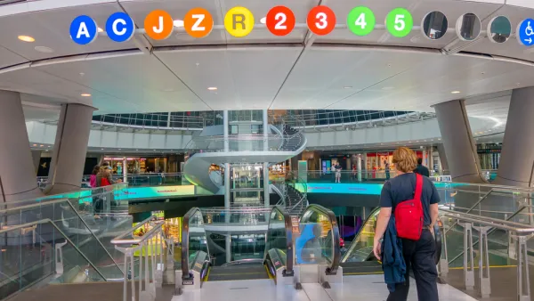
Every morning on my way to work, I drive through what could be the most over-engineered intersection east of the Mississippi.
This rather typical four-way crossroads is packed with an atypical and whopping 36 traffic lights (if you count each red, yellow and green light), 8 pedestrian crosswalk signals, 6 strategically placed video cameras, and a spattering of street signs – 14 specifically – indicating street names, speed limits, turn lanes, parking and bus zones. All that gear to manage one intersection!
When I described the scene to a friend over lunch one day, he joked: “That, there, is the face of big government and the visible overreach of the administrative state.”
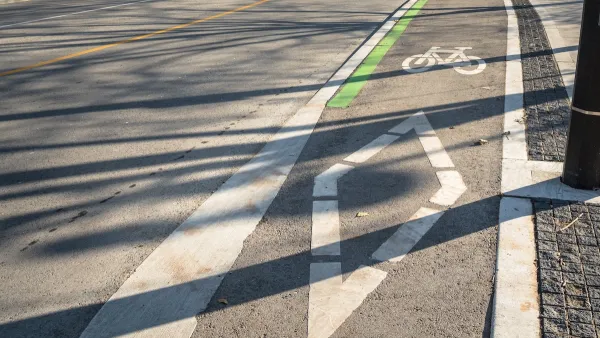
Overreach or not, cities have always been responsible for managing their surface transportation network, and for the better part of the last century, they did so using analog systems like stop signs, lane markings, curbs, and police officers.
Today, however, we are moving into a new digital-age of transportation with ride-hailing, micro-mobility, drones, and autonomous vehicles. If cities are to live up to their mandate in this brave new world, they must not only have policies in place about this digital world, but they also must embed policies directly into this digital world – in other words, digitize their policies.
Afterall, decisions are happening at lightning speeds in the digital realm. From the GPS-based route optimization when you order a ride, to the payment systems for the ride service, to the safety-critical vehicle-to-infrastructure communication systems, the digital world is where the action is happening. And remember, part of the promise of autonomous vehicles is that they will one day remove the human from the driving equation entirely, ultimately shifting all of the decision making to the digital world.
Which is why Chicago, Portland, Los Angeles, Miami, Seattle, San Francisco, Austin, and other cities jumped to form the Open Mobility Foundation (OMF), whose mission is to govern the new Mobility Data Specification (MDS).
MDS is a set of data specifications and data sharing requirements that force mobility companies to report basic data on the location and use of their equipment. While MDS, in its current form, is focused on e-scooters and e-bicycles, it was originally developed by the LA DOT to better manage AV deployments, and extending it to AVs remains a goal.
But MDS alone won’t enable digital traffic management. Cities will also need a high definition map of the city, or as the latest “Technology Action Plan” [pdf] by the Los Angeles Department of Transportation describes it, a “digital infrastructure that mirrors the current hardscape and that gives transportation assets like curbs, streets, sidewalks, airspace, and subterranean space a digital identity.”
That’s right, code is the new concrete, and a key tenet of OMF’s mission is that the city is going to own and govern its digital twin.
“Going forward, each city must manage its own Digital Twin, which will provide the ground truth on which mobility services depend,” states the OMF bylaws [pdf].
The result is that all stakeholders—both cities and the private mobility companies—will operate off the same digital map, with MDS acting as the data and communication protocol.
By combining MDS with a digital twin of the urban environment, cities will finally be in a position to digitally – and actively – manage private sector service providers.
For instance, a city could digitize their AV policies directly into the digital twin—in other words, embed into the universal map rules like speed limits and where and when vehicles can park, instead of relying on street signs that AVs may or may not recognize.
Furthermore, using the MDS protocol, not only could a city track precisely where and when AVs are operating, but policy violations could be enforced in real-time, instead of relying on snail mail for ticketing.
There are around 90 cities in the world piloting MDS, according to the Executive Director of OMF, Jascha Franklin-Hodge, who shared his estimate at a recent conference in Los Angeles.
One thing is for sure, byzantine analog methods for managing transportation aren’t likely to cut it any longer. City officials need new tools and technologies that allow them to fulfill their role as planners, operators, investors, regulators, and enforcers of the surface transportation network.
And though some folks, like my friend, may find solace in a future with fewer analog systems lining our streets, don’t be fooled by the digital regs hiding beneath the surface.
______________
Robert Fischer is President of GTiMA, a Technology and Policy Advisor to Mandli Communications, and an Associate Editor of the SAE International Journal of Connected and Autonomous Vehicles.
FULL STORY: How Cities Can Digitize Their 21st Century Mobility Policies


Mobility Data: How Your Travel Patterns Could Inform Policy
Data generated by travel modes can inform planners and regulators in improving the transportation system, but private mobility companies often restrict their access for concerns about privacy and competition.
Ranking the Sustainability of Transportation Systems in North American Cities
Out of 23 cities, New York City came in first, Indianapolis came in 23rd.
A Troubling Trend of Backlash to Bike Lanes
Some cities are going so far as to rip out protected bike infrastructure that took years of advocacy to build.

Analysis: Cybertruck Fatality Rate Far Exceeds That of Ford Pinto
The Tesla Cybertruck was recalled seven times last year.

National Parks Layoffs Will Cause Communities to Lose Billions
Thousands of essential park workers were laid off this week, just before the busy spring break season.

Retro-silient?: America’s First “Eco-burb,” The Woodlands Turns 50
A master-planned community north of Houston offers lessons on green infrastructure and resilient design, but falls short of its founder’s lofty affordability and walkability goals.

Test News Post 1
This is a summary

Analysis: Cybertruck Fatality Rate Far Exceeds That of Ford Pinto
The Tesla Cybertruck was recalled seven times last year.

Test News Headline 46
Test for the image on the front page.
Urban Design for Planners 1: Software Tools
This six-course series explores essential urban design concepts using open source software and equips planners with the tools they need to participate fully in the urban design process.
Planning for Universal Design
Learn the tools for implementing Universal Design in planning regulations.
EMC Planning Group, Inc.
Planetizen
Planetizen
Mpact (formerly Rail~Volution)
Great Falls Development Authority, Inc.
HUDs Office of Policy Development and Research
NYU Wagner Graduate School of Public Service