


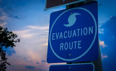
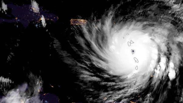
As Hurricane Laura intensified into a Category 4 storm, public officials had to make decisions about evacuation during a time of sheltering in place. Researchers at Texas A&M University developed a risk index to guide decisionmaking processes.
Ali Mostafavi, associate professor of civil engineering, is working with a team of researchers at the Texas A&M University UrbanResilience.AI Lab to examine the relationship between "urban infrastructure and people and systems in disasters."
Mostafavi's recent article in The Conversation describes the team's research on compounding risk factors like COVID-19, wildfires in the West, and storm preparation and the potential need for evacuation in the South. The research aims to understand which areas are the most vulnerable to these commingling events through a compound hazard risk index.
The research and risk index are meant to help public officials make data-informed decisions about evacuation and hazard mitigation. "Our research shows that compound disasters have complex ramifications. At the intersection of a natural hazard and a pandemic is a decision process fraught with contradictions," writes Mostafavi.
Mostafavi continues by explaining that "using data on social vulnerability, pandemic risk and hazard probability, my lab created an interactive map that pinpoints sources of vulnerability. The goal is to enable disaster response managers and decision makers to recognize the compound risks posed by the confluence of the pandemic and any natural hazard."
As officials prepare for and respond to natural hazards, Mostafavi's team continues to contribute to the conversation and highlight the areas that are most at risk.
FULL STORY: Hurricanes and wildfires are colliding with the COVID-19 pandemic – and compounding the risks

Coronavirus a Major New Complication for Extreme Weather Events
Climate change might not allow the relief from the pandemic that many have been hoping for as the country enters the summer months, as evacuations during the hurricane, tornado, and fire seasons will take on new elements of risk.
Serpentine Maze: Pop-Up Parks in the Pandemic
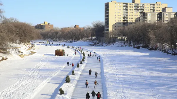
If the combined effects of winter's cold and the pandemic has you bummed, check out this community-building exercise in the frozen North.
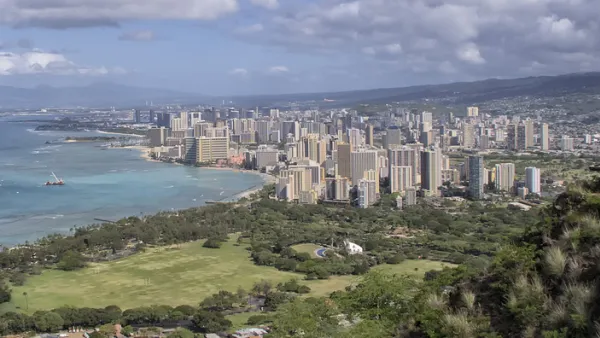
Five Actions to Combat COVID-19 in Hawaii
A data-driven approach is needed to figure out how the disease has spread in the islands and what can be done to contain it.

National Parks Layoffs Will Cause Communities to Lose Billions
Thousands of essential park workers were laid off this week, just before the busy spring break season.

Retro-silient?: America’s First “Eco-burb,” The Woodlands Turns 50
A master-planned community north of Houston offers lessons on green infrastructure and resilient design, but falls short of its founder’s lofty affordability and walkability goals.

Delivering for America Plan Will Downgrade Mail Service in at Least 49.5 Percent of Zip Codes
Republican and Democrat lawmakers criticize the plan for its disproportionate negative impact on rural communities.

Test News Post 1
This is a summary

Test News Headline 46
Test for the image on the front page.

Balancing Bombs and Butterflies: How the National Guard Protects a Rare Species
The National Guard at Fort Indiantown Gap uses GIS technology and land management strategies to balance military training with conservation efforts, ensuring the survival of the rare eastern regal fritillary butterfly.
Urban Design for Planners 1: Software Tools
This six-course series explores essential urban design concepts using open source software and equips planners with the tools they need to participate fully in the urban design process.
Planning for Universal Design
Learn the tools for implementing Universal Design in planning regulations.
EMC Planning Group, Inc.
Planetizen
Planetizen
Mpact (formerly Rail~Volution)
Great Falls Development Authority, Inc.
HUDs Office of Policy Development and Research
NYU Wagner Graduate School of Public Service