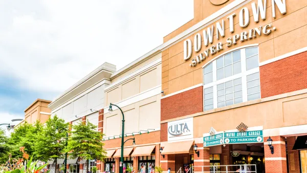
Montgomery County, Maryland wants to put its zoning where its transit is—it's just the latest in a string of transit-oriented land use reforms for the famously suburban county.

"Two new [Montgomery County] bills would allow multifamily housing near Metro stations and protect renters in transit areas from price gouging," reports Briana Adhikusuma.
Montgomery County Councilmember Will Jawando is expected to propose zoning change to "allow multifamily housing on R-60-zoned residential property within a mile of a Metrorail station," according to Adhikusuma.
"The structures would have to be within the building height, lot coverage, setbacks, minimum lot size and minimum parking requirements allowed in an R-60 zone."
Moreover, additional flexibility will be offered within a half-mile of transit stations, including Missing Middle Housing options, according to the article. Jawando is calling the effort the "More Housing for More People" initiative. The Silver Spring Downtown Plan, as discussed in public hearings in the county during June of this year, also calls for Missing Middle Housing.
More Housing for More People would realign Montgomery County relative to the transit-oriented development incentives found in the counties around Washington, D.C. The effort is just the latest attempt at land use reform in the county. In October, the county council approved a tax incentive for high-rise developments on Metro station properties. In August of this year, the county ended a development moratorium, and in .
In addition to the zoning changes, Jawando is offering additional legislation "to protect renters against rent gouging in transit areas," reports Adhikusuma. More details on that legislation can be found in the source article.
Planetizen shared news this week of Montgomery County's work on a new general plan, called Thrive Montgomery 2050, which, still in early planning stages, calls for more priority on housing supply and Missing Middle Housing as affordability tools in addition to a new approach to the integration of land use and transportation planning.
FULL STORY: Multifamily zoning proposed near Metro stations

National Parks Layoffs Will Cause Communities to Lose Billions
Thousands of essential park workers were laid off this week, just before the busy spring break season.

Retro-silient?: America’s First “Eco-burb,” The Woodlands Turns 50
A master-planned community north of Houston offers lessons on green infrastructure and resilient design, but falls short of its founder’s lofty affordability and walkability goals.

Delivering for America Plan Will Downgrade Mail Service in at Least 49.5 Percent of Zip Codes
Republican and Democrat lawmakers criticize the plan for its disproportionate negative impact on rural communities.

Test News Post 1
This is a summary

Test News Headline 46
Test for the image on the front page.

Balancing Bombs and Butterflies: How the National Guard Protects a Rare Species
The National Guard at Fort Indiantown Gap uses GIS technology and land management strategies to balance military training with conservation efforts, ensuring the survival of the rare eastern regal fritillary butterfly.
Urban Design for Planners 1: Software Tools
This six-course series explores essential urban design concepts using open source software and equips planners with the tools they need to participate fully in the urban design process.
Planning for Universal Design
Learn the tools for implementing Universal Design in planning regulations.
EMC Planning Group, Inc.
Planetizen
Planetizen
Mpact (formerly Rail~Volution)
Great Falls Development Authority, Inc.
HUDs Office of Policy Development and Research
NYU Wagner Graduate School of Public Service


