


Google's newest partnership offers contactless parking meter payments and transit fare purchases.
.jpg)
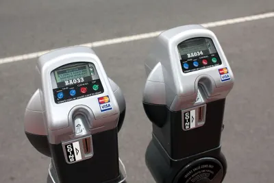
The newest tech upgrade to your driving experience: paying for metered parking right from the Google Maps app. As Kirsten Korosec writes for TechCrunch, after a trial run in Austin, the "feature will expand first via Android to more than 400 U.S. cities, including Boston, Cincinnati, Houston, Los Angeles, New York and Washington, D.C." With the demand for contactless payment options growing as a result of COVID-19 precautions, Google's partnership with transportation software companies Passport and ParkMobile offers a compelling option for drivers wanting to avoid contact with public facilities.
"When navigating with Google Maps on iOS and Android, drivers in certain cities in the U.S. will see an option to pay for parking with Google Pay as they approach their destination. This means a user has to set up a Google Pay account, which is linked to a credit or debit card," according to Korosec. The app will also let customers add time to their meter without going back to their car.
Google is also working with more than 80 global transit agencies to integrate fare purchases, route planning, and digital fare cards into its Maps app.
FULL STORY: Google Maps users can now pay for parking or their transit fare right from the app

Want Less Traffic and More Parking? Start Charging for It!
Cities often fail to effectively manage parking—and the public pays for it.
America's Most Popular National Park Could Start Charging for Parking
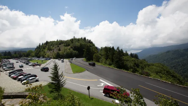
The Great Smoky Mountains National Park, the nation's most visited and one of only a handful with no admission fee, could institute a parking fee to pay for much-needed maintenance.
Do Bike Lanes Actually Cause Business Loss?
The often unsubstantiated assumption that loss of street parking due to bike lane installations leads to lost business can have a chilling effect on bike infrastructure.

National Parks Layoffs Will Cause Communities to Lose Billions
Thousands of essential park workers were laid off this week, just before the busy spring break season.

Retro-silient?: America’s First “Eco-burb,” The Woodlands Turns 50
A master-planned community north of Houston offers lessons on green infrastructure and resilient design, but falls short of its founder’s lofty affordability and walkability goals.

Delivering for America Plan Will Downgrade Mail Service in at Least 49.5 Percent of Zip Codes
Republican and Democrat lawmakers criticize the plan for its disproportionate negative impact on rural communities.

Test News Post 1
This is a summary

Test News Headline 46
Test for the image on the front page.

Balancing Bombs and Butterflies: How the National Guard Protects a Rare Species
The National Guard at Fort Indiantown Gap uses GIS technology and land management strategies to balance military training with conservation efforts, ensuring the survival of the rare eastern regal fritillary butterfly.
Urban Design for Planners 1: Software Tools
This six-course series explores essential urban design concepts using open source software and equips planners with the tools they need to participate fully in the urban design process.
Planning for Universal Design
Learn the tools for implementing Universal Design in planning regulations.
EMC Planning Group, Inc.
Planetizen
Planetizen
Mpact (formerly Rail~Volution)
Great Falls Development Authority, Inc.
HUDs Office of Policy Development and Research
NYU Wagner Graduate School of Public Service