


Traditionally associated with its wide-open spaces, Texas is now, undeniably, defined by the cities and suburbs that comprise its built environment.
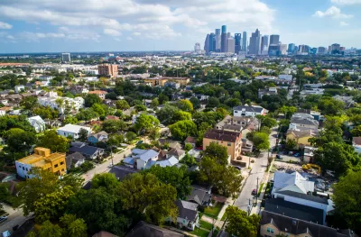
Three institutions—the LBJ School of Public Affairs at UT Austin, the SMU-Bush Institute Economic Growth Initiative in Dallas, and the Kinder Institute for Urban Research at Rice University in Houston—issued a "metropolitan blueprint" for the state of Texas. The blueprint is the first of its kind, as is the collaboration.
The key assumption underlying the blueprint is that the state is now defined by its developed places. "[C]ities and suburbs are Texas these days," reads an article by William Fulton announcing the report.
The report, therefore, offers a "road map that will move Texas toward a prosperous and successful metropolitan future" by challenging the status quo of business friendly policies and sprawling development patterns.
Before the pandemic emptied out urban business districts, Texas’ cities and suburbs had become notorious for their traffic congestion. Travel between the nodes of the Texas Triangle is time-consuming and inefficient. Governor Greg Abbott has acknowledged that road-building alone can no longer suffice to meet the state’s transportation needs.
The metropolitan prescription offered by the blueprint focuses into three key recommendations: 1) Texas should invest in Texans, 2) Texas should empower local communities, and 3) Texas needs solutions that are Texan. The report also focuses on three key areas: 1) Economic Development, 2) Housing and Land Use, and 3) Transportation and Infrastructure.
For additional reading on the blueprint—its conclusions, assumptions, and recommendations—see also an opinion piece written by Fulton, Kyle Shelton, Steven Pedigo, and J.H.Cullum Clark that's behind the paywall at the Houston Chronicle.
FULL STORY: A blueprint for continued economic prosperity in Texas

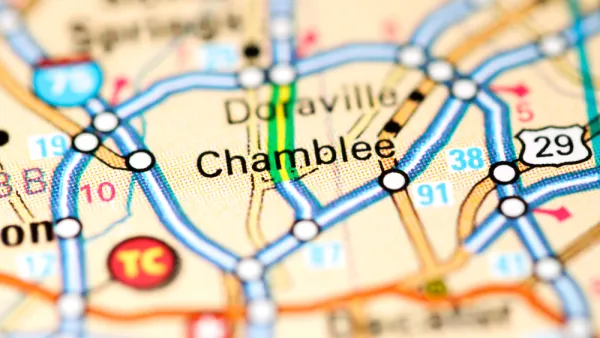
700 Homes Added to a Quickly Growing Corner of the Atlanta Metro Area
The Chamblee City Council has approved a massive new development project that will add more than 700 homes and tens of thousands of square feet of retail to the quickly growing city.
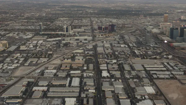
Cities in the South and West Keep Sprawling
New suburbs continue to expand into previously undeveloped areas, putting strain on local resources.
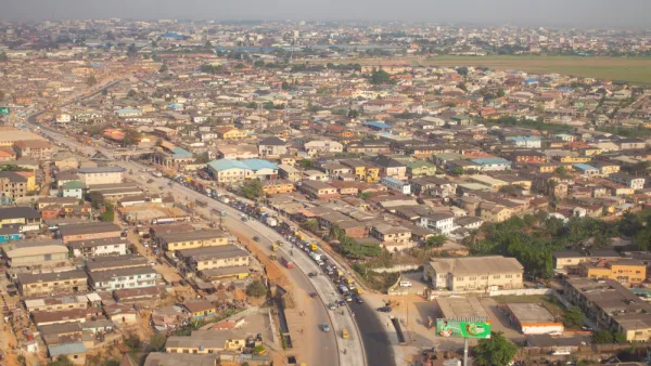
Report: Sprawl Threatens to Swallow the Planet
By 2030, cities will have tripled in size since 2000. Unmanaged, incessant growth is threatening the planet, according to a new report from the World Resources Institute.

National Parks Layoffs Will Cause Communities to Lose Billions
Thousands of essential park workers were laid off this week, just before the busy spring break season.

Retro-silient?: America’s First “Eco-burb,” The Woodlands Turns 50
A master-planned community north of Houston offers lessons on green infrastructure and resilient design, but falls short of its founder’s lofty affordability and walkability goals.

Delivering for America Plan Will Downgrade Mail Service in at Least 49.5 Percent of Zip Codes
Republican and Democrat lawmakers criticize the plan for its disproportionate negative impact on rural communities.

Test News Post 1
This is a summary

Test News Headline 46
Test for the image on the front page.

Balancing Bombs and Butterflies: How the National Guard Protects a Rare Species
The National Guard at Fort Indiantown Gap uses GIS technology and land management strategies to balance military training with conservation efforts, ensuring the survival of the rare eastern regal fritillary butterfly.
Urban Design for Planners 1: Software Tools
This six-course series explores essential urban design concepts using open source software and equips planners with the tools they need to participate fully in the urban design process.
Planning for Universal Design
Learn the tools for implementing Universal Design in planning regulations.
EMC Planning Group, Inc.
Planetizen
Planetizen
Mpact (formerly Rail~Volution)
Great Falls Development Authority, Inc.
HUDs Office of Policy Development and Research
NYU Wagner Graduate School of Public Service