


The proposed network would improve connectivity between the area's existing bikeways and increase access to regional job centers.
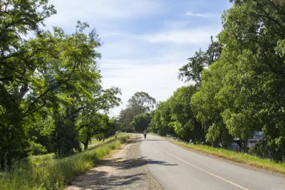
The Sacramento Area Council of Governments (SACOG) is starting public outreach for a project that would create an interconnected network of bikeways in the region, reports Tony Bizjak in the Sacramento Bee.
An online survey asks local residents to "submit their bike travel interests" to help the agency formulate a plan for the bike network. "The region already has a disconnected patchwork of off-street biking corridors that will serve as a starting point. It includes the 32-mile American River Bike Trail, the off-street bike trail systems in Folsom and Davis. There are also levee-top and creekside trails around the region and the blustery Yolo Causeway bike path that connects Davis with West Sacramento." Additional bike projects are in the works in Sacramento, Citrus Heights, and Orangevale.
"SACOG plans this summer to design a better-linked system that fills in the blanks and will make it easier and safer to travel on bikes - both for long and short rides." Connecting the region would require an estimated additional 300 miles of trail. "The plan would make it easier for cities to win funding for more localized bike routes, such as one in Yuba City and Marysville that would take advantage of an unused Union Pacific rail corridor to link residential areas, shopping districts, parks, medical facilities, and offices." The plan would also focus on ensuring equity in bike infrastructure and improving safety for cyclists in densely packed central business districts.
FULL STORY: Sacramento region planning a bike ‘freeway’ system linking cities and neighborhoods

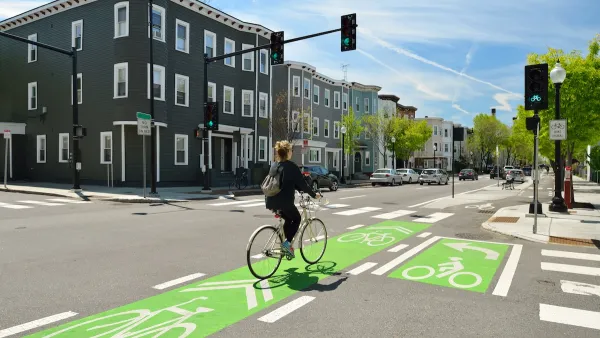
NACTO Releases Updated Urban Bikeway Guide
The third edition of the nationally recognized road design guide includes detailed design advice for roads that prioritize safety and accessibility for all users.
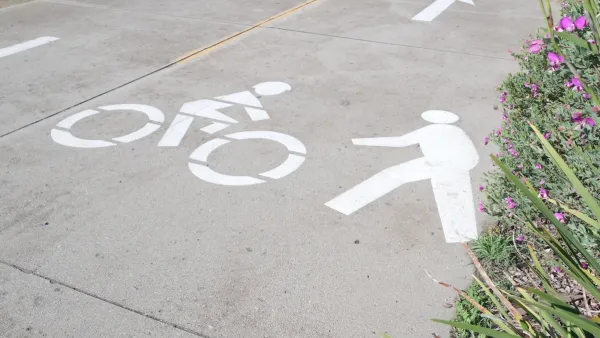
California Bill Promotes ‘Quick-Build’ Road Safety Solutions
The bill is part of an effort to reverse entrenched patterns in traffic engineering and speed up the adoption of safer infrastructure for people walking and biking.
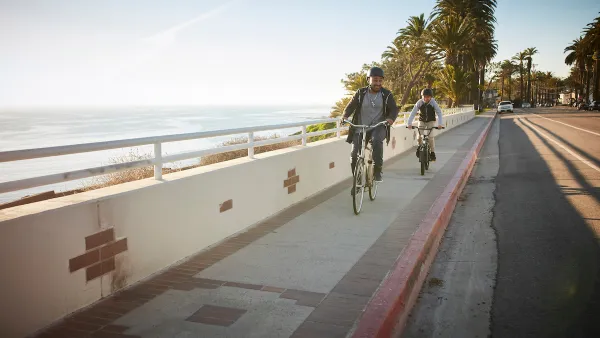
California Governor Vetoes Sidewalk Cycling Bill
The law would have allowed people to bike on sidewalks on roadways that lack safe bikeways.

National Parks Layoffs Will Cause Communities to Lose Billions
Thousands of essential park workers were laid off this week, just before the busy spring break season.

Retro-silient?: America’s First “Eco-burb,” The Woodlands Turns 50
A master-planned community north of Houston offers lessons on green infrastructure and resilient design, but falls short of its founder’s lofty affordability and walkability goals.

Delivering for America Plan Will Downgrade Mail Service in at Least 49.5 Percent of Zip Codes
Republican and Democrat lawmakers criticize the plan for its disproportionate negative impact on rural communities.

Test News Post 1
This is a summary

Test News Headline 46
Test for the image on the front page.

Balancing Bombs and Butterflies: How the National Guard Protects a Rare Species
The National Guard at Fort Indiantown Gap uses GIS technology and land management strategies to balance military training with conservation efforts, ensuring the survival of the rare eastern regal fritillary butterfly.
Urban Design for Planners 1: Software Tools
This six-course series explores essential urban design concepts using open source software and equips planners with the tools they need to participate fully in the urban design process.
Planning for Universal Design
Learn the tools for implementing Universal Design in planning regulations.
EMC Planning Group, Inc.
Planetizen
Planetizen
Mpact (formerly Rail~Volution)
Great Falls Development Authority, Inc.
HUDs Office of Policy Development and Research
NYU Wagner Graduate School of Public Service