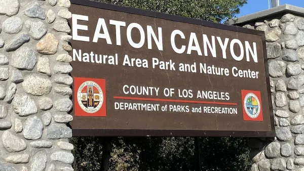
Location data from mobile devices can help inform park planning and development, letting planners know how people move through parks and which spaces they actually use within them.

Park planning has become increasingly data-driven. For example, the use of geographic information systems (GIS) for mapping and analysis is now commonplace for large public park agencies, as explained in previous Planetizen articles, "How GIS Helps Plan Parks" and "How the National Park Service Uses GIS." Many have also conducted and are continuing to update parks needs assessments to gather and analyze data to help inform planning and resource allocation decisions, as exemplified in recent articles like "Seeking Public Input on Regional and Rural Park Needs," "Understanding Regional and Rural Park and Recreation Needs," and "Rural Parks Planning Underway in Los Angeles County."
The use of location data from mobile devices is one of the latest trends in data-driven park planning. Specifically, the use of such data for studies on park visitors can be more affordable and accurate than conducting in-person counts and/or surveys at parks. In this article, Adi Reske of Unacast summarizes a conversation with Dr. Jamie Saxon, with the University of Chicago, regarding how location data is being used in the public sector and the different ways it can help create better public parks. Here are a few insights:
- Smartphone location data can show how people move through parks and which spaces they actually use within them.
- Sometimes, the data make common sense. For example, keeping parks within a short walk of people and they tend to visit more.
- Other times, the data can reveal the unexpected: things that at first may seem counterintuitive or even difficult to understand
- The data can help focus resources on supporting and affirming communities and parks’ current users.
FULL STORY: Using location data for better parks

Analysis: Cybertruck Fatality Rate Far Exceeds That of Ford Pinto
The Tesla Cybertruck was recalled seven times last year.

National Parks Layoffs Will Cause Communities to Lose Billions
Thousands of essential park workers were laid off this week, just before the busy spring break season.

Retro-silient?: America’s First “Eco-burb,” The Woodlands Turns 50
A master-planned community north of Houston offers lessons on green infrastructure and resilient design, but falls short of its founder’s lofty affordability and walkability goals.

Test News Post 1
This is a summary

Analysis: Cybertruck Fatality Rate Far Exceeds That of Ford Pinto
The Tesla Cybertruck was recalled seven times last year.

Test News Headline 46
Test for the image on the front page.
Urban Design for Planners 1: Software Tools
This six-course series explores essential urban design concepts using open source software and equips planners with the tools they need to participate fully in the urban design process.
Planning for Universal Design
Learn the tools for implementing Universal Design in planning regulations.
EMC Planning Group, Inc.
Planetizen
Planetizen
Mpact (formerly Rail~Volution)
Great Falls Development Authority, Inc.
HUDs Office of Policy Development and Research
NYU Wagner Graduate School of Public Service


