


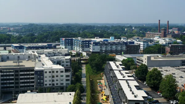
A new way of keeping track of the changes caused by one of the nation's "most ambitious urban redevelopment projects."

Josh Green shares news of an interactive data mapping tool published online by the Atlanta Beltline in partnership with Neighborhood Nexus.
Atlanta BeltLine has published two maps—the Investment Data Explorer and the Demographic Data Explorer. Together, according to Green, the maps are "convenient means of keeping tabs on changes brought, in part, by one of America’s most ambitious urban redevelopment projects."
The Investment Data Explorer, "drills down on funding and progress across BeltLine subareas related to parks, housing, trails, transit and streetscapes, and arts and culture," explains Green. The Demographic Data Explorer "vividly illustrates shifts in population densities, incomes, rent growth, and other metrics since the BeltLine’s conception."
The source article below provides more background and insight into the interactive data tools.
FULL STORY: Atlanta BeltLine launches gentrification-o-meter to track changes

New Study Commissioned for Atlanta BeltLine Transit
The study will assess alignment options for a 13-mile segment of the greenway.

Atlanta Streetcar Expansion Still Moving Forward
MARTA has drastically reduced its plans to construct new rail transit, but one project still has political support from the top at City Hall.
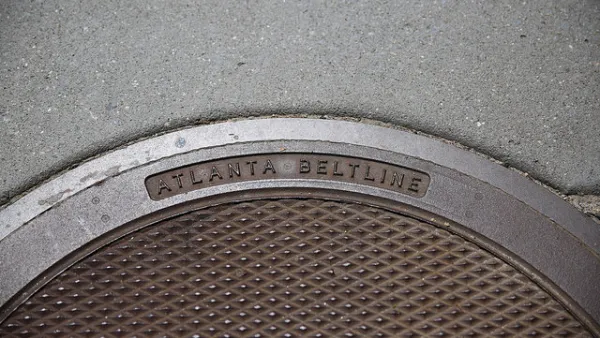
Final Piece of Atlanta BeltLine’s Route Falls Into Place
The choice of a route for the final segment of the Northwest Trail completes the planned route for the entire 22-mile length of the Atlanta BeltLine.

Analysis: Cybertruck Fatality Rate Far Exceeds That of Ford Pinto
The Tesla Cybertruck was recalled seven times last year.

National Parks Layoffs Will Cause Communities to Lose Billions
Thousands of essential park workers were laid off this week, just before the busy spring break season.

Retro-silient?: America’s First “Eco-burb,” The Woodlands Turns 50
A master-planned community north of Houston offers lessons on green infrastructure and resilient design, but falls short of its founder’s lofty affordability and walkability goals.

Test News Post 1
This is a summary

Analysis: Cybertruck Fatality Rate Far Exceeds That of Ford Pinto
The Tesla Cybertruck was recalled seven times last year.

Test News Headline 46
Test for the image on the front page.
Urban Design for Planners 1: Software Tools
This six-course series explores essential urban design concepts using open source software and equips planners with the tools they need to participate fully in the urban design process.
Planning for Universal Design
Learn the tools for implementing Universal Design in planning regulations.
EMC Planning Group, Inc.
Planetizen
Planetizen
Mpact (formerly Rail~Volution)
Great Falls Development Authority, Inc.
HUDs Office of Policy Development and Research
NYU Wagner Graduate School of Public Service