


The city is creating a strategy for improvements in the Clark Street corridor to improve the area's walkability and stimulate the local economy.
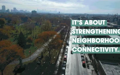
Chicago's Department of Planning and Development is soliciting stakeholder input to develop a plan for Clark Street, a major commercial thoroughfare that connects some of the city's most historic neighborhoods, including Uptown and Wrigleyville.
As part of its study of the area, the city wants to "identify opportunities for new development, zoning enhancements and public realm improvements" that will drive more pedestrians to Clark Street and its businesses. According to the project's website, the study will examine ways to improve streetscapes "to promote additional comfort and safety for pedestrians and cyclists" and introduce "uses that increase foot traffic to the area."
The article notes that the study is funded by $250,000 from the Clark/Montrose Tax Increment Financing (TIF) District, a financing mechanism that uses property tax growth to promote public and private investment in a designated district. The DPD plans to release the final study and its recommendations in June 2022.
FULL STORY: City Launches Public Engagement Activities for ‘Clark Street Crossroads’

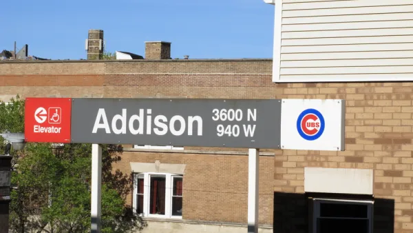
Risk and Reward in Play With Wrigleyville Developments
A wave of investments is visiting one of the most famous, and notorious, neighborhoods in the city of Chicago. The question is whether the final product will be worth the expense.
Op-Ed: Chicago's Washington Park a Perfect Fit for TIF
An op-ed in the Chicago Tribune addresses the long history of tax increment financing abuse in Chicago, but supports a proposed TIF district for Washington Park.

Chicago Made Hundreds of Accessibility Upgrades in 2024
The city has improved over 200 bus stops and 400 of its nearly 3,000 intersections to make them safer for people with disabilities.

National Parks Layoffs Will Cause Communities to Lose Billions
Thousands of essential park workers were laid off this week, just before the busy spring break season.

Retro-silient?: America’s First “Eco-burb,” The Woodlands Turns 50
A master-planned community north of Houston offers lessons on green infrastructure and resilient design, but falls short of its founder’s lofty affordability and walkability goals.

Delivering for America Plan Will Downgrade Mail Service in at Least 49.5 Percent of Zip Codes
Republican and Democrat lawmakers criticize the plan for its disproportionate negative impact on rural communities.

Test News Post 1
This is a summary

Test News Headline 46
Test for the image on the front page.

Balancing Bombs and Butterflies: How the National Guard Protects a Rare Species
The National Guard at Fort Indiantown Gap uses GIS technology and land management strategies to balance military training with conservation efforts, ensuring the survival of the rare eastern regal fritillary butterfly.
Urban Design for Planners 1: Software Tools
This six-course series explores essential urban design concepts using open source software and equips planners with the tools they need to participate fully in the urban design process.
Planning for Universal Design
Learn the tools for implementing Universal Design in planning regulations.
EMC Planning Group, Inc.
Planetizen
Planetizen
Mpact (formerly Rail~Volution)
Great Falls Development Authority, Inc.
HUDs Office of Policy Development and Research
NYU Wagner Graduate School of Public Service