


Among the options on the table for the Southside Complete Streets Project is a configuration that would turn Telegraph Avenue near the campus of UC Berkeley into a pedestrian, bike, and transit-only plaza.
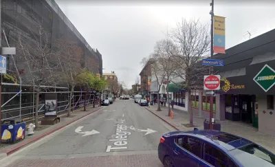
The blocks of Telegraph Avenue nearest to the campus of the University of California, Berkeley could soon be reconfigured to block cars, raise the street to the level of its sidewalks, and create transit bus lanes and improved pedestrian and bike infrastructure, reports Katie Lauer for the Mercury News in an article that might be paywalled for some readers.
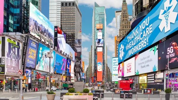
The Southside Complete Streets Project aspires to create a "Times Square of the West" along the bustling corridor, which currently achieves its vibrancy despite one-way car traffic than ends when the street meets the campus near Sproul Plaza and Sather Gate.
According to Lauer, "the redesign will feature dedicated bus lanes, protected bike paths, widened sidewalks, improved pedestrian crossings and public transit stops. The purpose is to reduce dangerous traffic collisions, improve local transit reliability and boost the economic and cultural vitality of the neighborhood..."
The car-free plan is one alternative in the project, which is still under study after receiving a preliminary green light from the Berkeley City Council.
"Although the car-free idea wasn’t originally on the table, city officials bought into it following public outreach last summer and a last-minute push by members of Telegraph for People, a student-driven advocacy group," reports Lauer.
More details on the various options on the table for the project, including street cross sections, are included in the source article below.
FULL STORY: Berkeley: Plan may turn Telegraph Avenue into ‘West Coast’s Times Square’

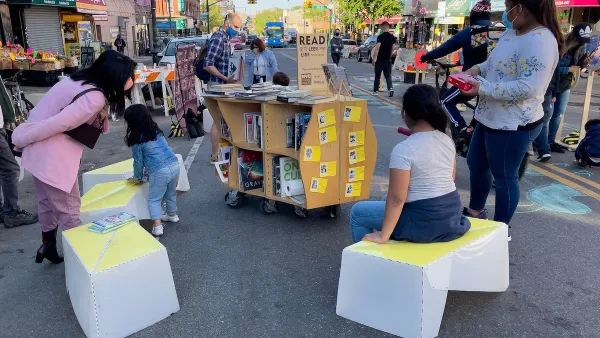
NYC Officials Announce Broadway Pedestrianization Project
Two blocks of the marquee street will become mostly car-free public spaces.
Meet NYC’s New Office of Livable Streets
The NYC DOT program will build on pandemic-era initiatives to promote safe and comfortable streets that enhance community and expand uses beyond just moving cars.
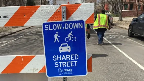
Denver Plans to Make Some Open Streets Permanent
The city is moving to institutionalize segments of streets that were successfully pedestrianized during the pandemic.

National Parks Layoffs Will Cause Communities to Lose Billions
Thousands of essential park workers were laid off this week, just before the busy spring break season.

Retro-silient?: America’s First “Eco-burb,” The Woodlands Turns 50
A master-planned community north of Houston offers lessons on green infrastructure and resilient design, but falls short of its founder’s lofty affordability and walkability goals.

Delivering for America Plan Will Downgrade Mail Service in at Least 49.5 Percent of Zip Codes
Republican and Democrat lawmakers criticize the plan for its disproportionate negative impact on rural communities.

Test News Post 1
This is a summary

Test News Headline 46
Test for the image on the front page.

Balancing Bombs and Butterflies: How the National Guard Protects a Rare Species
The National Guard at Fort Indiantown Gap uses GIS technology and land management strategies to balance military training with conservation efforts, ensuring the survival of the rare eastern regal fritillary butterfly.
Urban Design for Planners 1: Software Tools
This six-course series explores essential urban design concepts using open source software and equips planners with the tools they need to participate fully in the urban design process.
Planning for Universal Design
Learn the tools for implementing Universal Design in planning regulations.
EMC Planning Group, Inc.
Planetizen
Planetizen
Mpact (formerly Rail~Volution)
Great Falls Development Authority, Inc.
HUDs Office of Policy Development and Research
NYU Wagner Graduate School of Public Service