


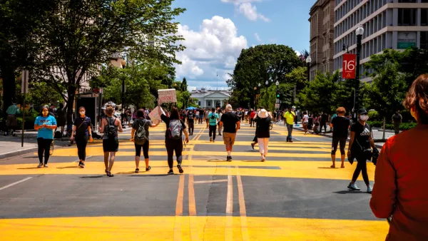
If approved, an ordinance under consideration in Louisville would commit to eventually eliminate traffic fatalities…20 years in the future.

“Louisville Metro Council is debating a proposed ordinance that would commit the city to a goal of eliminating roadway deaths by 2050, an initiative known as Vision Zero,” reports Roberto Roldan for WFPL. “More than 900 people have died from crashes on non-interstate roadways in Louisville since 2014, according to city data, including 185 pedestrians.”
The ordinance would “require city agencies like Public Works and Louisville Metro Police to create an action plan for reducing fatal collisions and provide Metro Council with an annual update,” according to Roldan.
The ordinance has encountered resistance on the Metro Council from elected officials concerned about street reconfigurations might hurt business.
There is also little in the way of evidence that Vision Zero programs in other parts of the country (e.g., Seattle, Portland, New York City, the entire country) have done anything to reduce traffic collisions outside of a few rare examples (e.g., Fremont and Hoboken).
FULL STORY: Ordinance would make ending traffic deaths the primary focus of road design in Louisville

D.C. Revamps its Vision Zero Plan to Eliminate Traffic Fatalities
Washington, D.C. was an early adopter of Vision Zero in the United States, but eventually it became emblematic of the country's lack of progress in reducing traffic collisions.

Cleveland Ready for Vision Zero
Cleveland is working to become the latest U.S. city to set a goal to eliminate traffic fatalities.
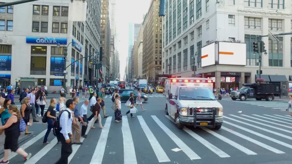
New York City Traffic Fatalities Pass 2019 Totals
The visions of a car-free utopia that might have seemed like a potential silver lining in March and April have given away to a tragic reality.

National Parks Layoffs Will Cause Communities to Lose Billions
Thousands of essential park workers were laid off this week, just before the busy spring break season.

Retro-silient?: America’s First “Eco-burb,” The Woodlands Turns 50
A master-planned community north of Houston offers lessons on green infrastructure and resilient design, but falls short of its founder’s lofty affordability and walkability goals.

Delivering for America Plan Will Downgrade Mail Service in at Least 49.5 Percent of Zip Codes
Republican and Democrat lawmakers criticize the plan for its disproportionate negative impact on rural communities.

Test News Post 1
This is a summary

Test News Headline 46
Test for the image on the front page.

Balancing Bombs and Butterflies: How the National Guard Protects a Rare Species
The National Guard at Fort Indiantown Gap uses GIS technology and land management strategies to balance military training with conservation efforts, ensuring the survival of the rare eastern regal fritillary butterfly.
Urban Design for Planners 1: Software Tools
This six-course series explores essential urban design concepts using open source software and equips planners with the tools they need to participate fully in the urban design process.
Planning for Universal Design
Learn the tools for implementing Universal Design in planning regulations.
EMC Planning Group, Inc.
Planetizen
Planetizen
Mpact (formerly Rail~Volution)
Great Falls Development Authority, Inc.
HUDs Office of Policy Development and Research
NYU Wagner Graduate School of Public Service