


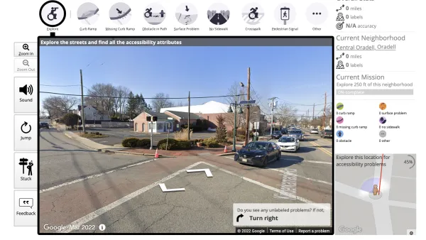
Digital mapping tools like Google Street View often obscure the realities of cities and concentrate their resources in the wealthiest countries, effectively ‘erasing’ some places from the global map.

Writing in ArchDaily, Matthew Maganga highlights the failures of modern mapping tools such as Google Street View, which can literally leave some places off the map and perpetuate unequal systems of power. “Historically, far before the realm of today’s digital technologies, mapping has functioned as a method of control. This control seeped out into how unmapped spaces were viewed, as European colonial powers termed unmapped land as terra nullius and sought to, through mapping, further their imperial commercial interests.”
Today, “In a ‘post-colonial’ twenty-first-century, neo-colonialism means that some of these unmapped cities are greatly reliant on a tourism industry that seeks to attract travelers mainly from the countries of the Global North.” According to Maganga, “In Africa, only 13 countries have been mapped by Google Street View. Almost all of Central America has yet to be mapped. Much of Asia and the Middle East is similarly unavailable on Google Street View.”
In other situations, Google Street View only shows the “sanitized” parts of a city, writes Maganga. In some places, Google Street View omits informal settlements. “This form of urban cartography essentially ignores those who live in examples of less ‘formal’ architecture, exacerbating what can only be termed as an urban digital divide where places not visible on platforms such as Google Street View are in turn then forgotten by governments and political powers.”
Maganga cautions that it’s crucial to remember that “Mapping has always been biased – it’s far from a neutral endeavor.” Planners and cartographers must remember that their tools, if not deployed with care, can reinforce systems of injustice.
FULL STORY: Invisible Landscapes: When Digital Tools Fail to Document

Top Websites for Urban Planning - 2022
Every year, Planetizen collects the websites breaking new digital ground in the world of planning and related fields.
Analyzing Lynch's City Imageability in the Digital Age
Mahbubur Meenar of Rowan University writes about a recent article he co-authored in the Journal of Planning Education and Research

How ‘Anti-DEI’ Efforts Impact Sustainable Transportation Studies
Research into accessibility, transit equity, and traffic safety is losing federal funding at an alarming rate.

National Parks Layoffs Will Cause Communities to Lose Billions
Thousands of essential park workers were laid off this week, just before the busy spring break season.

Retro-silient?: America’s First “Eco-burb,” The Woodlands Turns 50
A master-planned community north of Houston offers lessons on green infrastructure and resilient design, but falls short of its founder’s lofty affordability and walkability goals.

Delivering for America Plan Will Downgrade Mail Service in at Least 49.5 Percent of Zip Codes
Republican and Democrat lawmakers criticize the plan for its disproportionate negative impact on rural communities.

Test News Post 1
This is a summary

Test News Headline 46
Test for the image on the front page.

Balancing Bombs and Butterflies: How the National Guard Protects a Rare Species
The National Guard at Fort Indiantown Gap uses GIS technology and land management strategies to balance military training with conservation efforts, ensuring the survival of the rare eastern regal fritillary butterfly.
Urban Design for Planners 1: Software Tools
This six-course series explores essential urban design concepts using open source software and equips planners with the tools they need to participate fully in the urban design process.
Planning for Universal Design
Learn the tools for implementing Universal Design in planning regulations.
EMC Planning Group, Inc.
Planetizen
Planetizen
Mpact (formerly Rail~Volution)
Great Falls Development Authority, Inc.
HUDs Office of Policy Development and Research
NYU Wagner Graduate School of Public Service