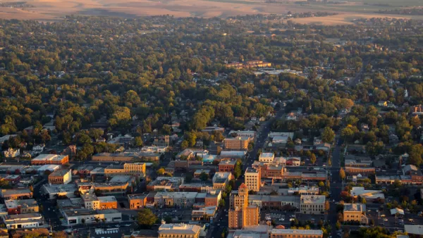
Douglas County’s master plan indicates that areas south of current development will likely remain preserved through conservation initiatives, but the metro area’s booming population indicates that growth will continue to happen, somewhere.

The Denver metropolitan area has a new southern growth boundary, at least for a while, reports John Aguilar for the Denver Post. According to Aguilar, Douglas County’s master plan shows no urban development south of the town of Larkspur, “And if it ever does, it will be largely hemmed in by large swaths of land protected by conservation easements and preservation designations — the result of the purchasing power of Douglas County’s nearly 30-year-old open space sales and use tax.” In November, voters will weigh in on a 15-year extension for the tax.
However, Aguilar points out that the natural buffer created by the Douglas County plan doesn’t bar all future urban sprawl in the area, whose population has been exploding in recent years and is projected to keep growing. “The metro area as a whole, which has just over 3.2 million people now, will grow to just under 4 million in the next 18 years, according to the state demographer’s office,” more than double the 1990 population of 1.8 million. Development is booming in the north and east sides of the Denver area, limited primarily by the West’s growing water shortage and in part by the region’s geography.
FULL STORY: Metro Denver’s growing sprawl now has a hard southern boundary

National Parks Layoffs Will Cause Communities to Lose Billions
Thousands of essential park workers were laid off this week, just before the busy spring break season.

Retro-silient?: America’s First “Eco-burb,” The Woodlands Turns 50
A master-planned community north of Houston offers lessons on green infrastructure and resilient design, but falls short of its founder’s lofty affordability and walkability goals.

Delivering for America Plan Will Downgrade Mail Service in at Least 49.5 Percent of Zip Codes
Republican and Democrat lawmakers criticize the plan for its disproportionate negative impact on rural communities.

Test News Post 1
This is a summary

Test News Headline 46
Test for the image on the front page.

Balancing Bombs and Butterflies: How the National Guard Protects a Rare Species
The National Guard at Fort Indiantown Gap uses GIS technology and land management strategies to balance military training with conservation efforts, ensuring the survival of the rare eastern regal fritillary butterfly.
Urban Design for Planners 1: Software Tools
This six-course series explores essential urban design concepts using open source software and equips planners with the tools they need to participate fully in the urban design process.
Planning for Universal Design
Learn the tools for implementing Universal Design in planning regulations.
EMC Planning Group, Inc.
Planetizen
Planetizen
Mpact (formerly Rail~Volution)
Great Falls Development Authority, Inc.
HUDs Office of Policy Development and Research
NYU Wagner Graduate School of Public Service


