


The National Recreation and Park Association has created a new virtual library offering a collection of publicly available databases and visualizations for park and recreation professionals and advocates.

Park and recreation agencies need data to help tell their stories, answer key questions, and inform decision-making. Fortunately, the National Recreation and Park Association (NRPA) recently created a new Data and Mapping Resource Library that offers a collection of relevant, publicly available databases and visualizations curated for park and recreation professionals and advocates. These public resources serve as a starting point for exploring data on a variety of topics.
As NRPA's Austin Barrett explain in this post, the library is organized by “Categories” and “Topics.” The four categories included are: 1) Social and Demographic Factors, 2) Health and Wellness, 3) Environmental Resiliency and 4) Park Access and Information. Topics are more specific and cover a range of different subject areas ranging from: “Age and Gender” to “Environmental Quality” to “Social and Economic Equity.” Users may further narrow resources by using the “Filter by” functionality on the right-hand side of the library.
A four-minute training video is also provided below that demonstrates how to access, filter and use the data resources in the library.
FULL STORY: Data: The Next Frontier


Bringing Communities Together: Lunar New Year Festivities Across LA County
To celebrate the Lunar New Year, LA County Parks is hosting free community festivals at 61 parks, featuring cultural performances, food tastings, crafts, and interactive activities that honor the Year of the Snake and promote unity and tradition.

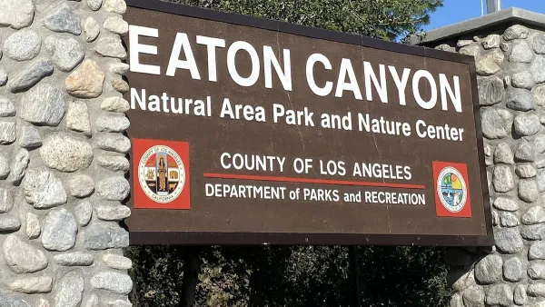
Parks as Community Lifelines: Supporting Residents During Times of Crisis
The Los Angeles County Department of Parks and Recreation demonstrates how parks serve as vital community infrastructure by adapting to crises, offering public health services, disaster relief, and essential support for residents in need.
After the Fires: Challenges and Efforts to Heal LA’s Parks and Trails
The recent LA wildfires have devastated parks and trails, with recovery efforts requiring extended closures, collaborative restoration plans, and community support to address extensive damage and long-term risks like landslides.

National Parks Layoffs Will Cause Communities to Lose Billions
Thousands of essential park workers were laid off this week, just before the busy spring break season.

Retro-silient?: America’s First “Eco-burb,” The Woodlands Turns 50
A master-planned community north of Houston offers lessons on green infrastructure and resilient design, but falls short of its founder’s lofty affordability and walkability goals.

Delivering for America Plan Will Downgrade Mail Service in at Least 49.5 Percent of Zip Codes
Republican and Democrat lawmakers criticize the plan for its disproportionate negative impact on rural communities.

Test News Post 1
This is a summary

Test News Headline 46
Test for the image on the front page.

Balancing Bombs and Butterflies: How the National Guard Protects a Rare Species
The National Guard at Fort Indiantown Gap uses GIS technology and land management strategies to balance military training with conservation efforts, ensuring the survival of the rare eastern regal fritillary butterfly.
Urban Design for Planners 1: Software Tools
This six-course series explores essential urban design concepts using open source software and equips planners with the tools they need to participate fully in the urban design process.
Planning for Universal Design
Learn the tools for implementing Universal Design in planning regulations.
EMC Planning Group, Inc.
Planetizen
Planetizen
Mpact (formerly Rail~Volution)
Great Falls Development Authority, Inc.
HUDs Office of Policy Development and Research
NYU Wagner Graduate School of Public Service