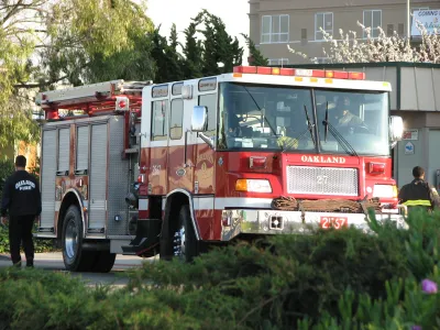
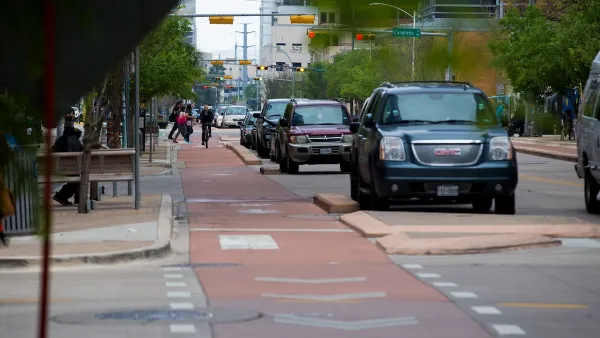
The city’s fire department is pushing back on proposed bike lanes and narrower streets, citing concerns about emergency access.

The Oakland Fire Department is opposing proposed changes to the city’s fire code, arguing that narrowing streets and adding protected bike lanes could hinder access for emergency vehicles. Jose Fermoso covers the story for The Oaklandside.
As Fermoso notes, “Currently, the city’s fire code requires streets to be a minimum of 26 feet wide where building heights are 30 feet or taller.” According to the Oakland Fire Department, the city’s older buildings necessitate wider streets in the event of a catastrophic collapse. But other cities, such as Portland and San Francisco, have changed their fire codes to reduce required street widths.
Kevin Dalley, of the Traffic Violence Rapid Response Team, says “it’s important to remember that removing the 26-foot rule from the code does not mean it would force the city to narrow every road. This change simply ‘would allow us to examine streets and buildings on a case-by-case basis,’ he said.” At a public meeting, Dalley said, “I’m asking the Oakland Fire Department to add to their mission and consider the safety of pedestrian cyclists and motorists when they review street design.”
The state standard for street width, and that of the National Fire Protection Association, is 20 feet. The city is amending other parts of the fire code to improve pedestrian safety, such as raising curb heights.
FULL STORY: Street safety advocates want narrower roads. The fire department is opposed

National Parks Layoffs Will Cause Communities to Lose Billions
Thousands of essential park workers were laid off this week, just before the busy spring break season.

Retro-silient?: America’s First “Eco-burb,” The Woodlands Turns 50
A master-planned community north of Houston offers lessons on green infrastructure and resilient design, but falls short of its founder’s lofty affordability and walkability goals.

Delivering for America Plan Will Downgrade Mail Service in at Least 49.5 Percent of Zip Codes
Republican and Democrat lawmakers criticize the plan for its disproportionate negative impact on rural communities.

Test News Post 1
This is a summary

Test News Headline 46
Test for the image on the front page.

Balancing Bombs and Butterflies: How the National Guard Protects a Rare Species
The National Guard at Fort Indiantown Gap uses GIS technology and land management strategies to balance military training with conservation efforts, ensuring the survival of the rare eastern regal fritillary butterfly.
Urban Design for Planners 1: Software Tools
This six-course series explores essential urban design concepts using open source software and equips planners with the tools they need to participate fully in the urban design process.
Planning for Universal Design
Learn the tools for implementing Universal Design in planning regulations.
EMC Planning Group, Inc.
Planetizen
Planetizen
Mpact (formerly Rail~Volution)
Great Falls Development Authority, Inc.
HUDs Office of Policy Development and Research
NYU Wagner Graduate School of Public Service


