


Traffic fatalities and serious injuries grew on state-owned roads in the Texas capital, even as city-owned streets saw death rates plateau.
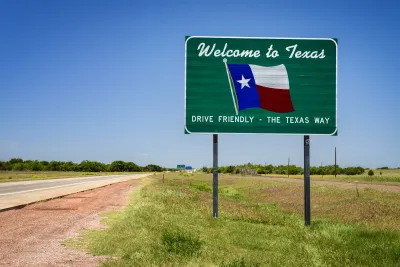
A rise in traffic deaths in Austin, Texas is linked to state-owned roads, according to a new report published by the city. As Michael Brady explains in Smart Cities Dive, “Fatal crashes occurring on State-owned roadways increased substantially while those occurring on City-owned streets remained relatively flat.”
According to the report, “In 2021 and 2022, there were 71 and 83 fatal crashes in Austin, far outpacing the average of 46 during the four years before the pandemic. At the same time, there were 35 and 28 fatal crashes on city-owned streets in 2021 and 2022, after averaging 30 per year from 2016 to 2019.”
The report notes that although “larger vehicles, speeding and impaired driving, and reduced traffic enforcement are partly to blame for the rise in traffic deaths and serious injuries,” road design is a major factor in the severity of crashes.
“The city is working with the Texas Department of Transportation to reduce traffic deaths in Austin, the report says, inviting state representatives to review fatalities and participate in design workshops for the nearly $1 million ‘cap and stitch’ program to reconnect communities divided by Interstate 35.” However, TxDOT is acting on its plans to widen I-35 even as local leaders call for a different approach.
FULL STORY: State-owned roads blamed for traffic fatality uptick in Austin, Texas, in new report

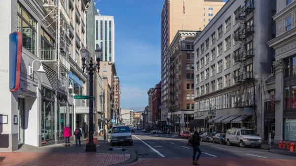
Portland Traffic Deaths Surpass 2022 Number
This year, 69 people have died in traffic crashes in Portland, Oregon, nearly twice as many as in 2018, when the city began its Vision Zero program.
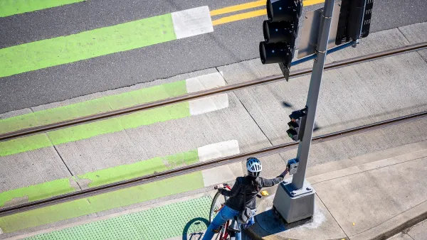
Audit: Portland’s Vision Zero Needs More Data, Funding
A city audit found that the program has failed to reduce traffic deaths and could benefit from a more systematic approach. Meanwhile, PBOT says it needs more state funding to support road safety projects.
How “Proven Safety Countermeasures” Save Lives
A bill named in honor of a U.S. diplomat killed while on her bicycle would let state DOTs access full federal funding for road safety projects.

National Parks Layoffs Will Cause Communities to Lose Billions
Thousands of essential park workers were laid off this week, just before the busy spring break season.

Retro-silient?: America’s First “Eco-burb,” The Woodlands Turns 50
A master-planned community north of Houston offers lessons on green infrastructure and resilient design, but falls short of its founder’s lofty affordability and walkability goals.

Delivering for America Plan Will Downgrade Mail Service in at Least 49.5 Percent of Zip Codes
Republican and Democrat lawmakers criticize the plan for its disproportionate negative impact on rural communities.

Test News Post 1
This is a summary

Test News Headline 46
Test for the image on the front page.

Balancing Bombs and Butterflies: How the National Guard Protects a Rare Species
The National Guard at Fort Indiantown Gap uses GIS technology and land management strategies to balance military training with conservation efforts, ensuring the survival of the rare eastern regal fritillary butterfly.
Urban Design for Planners 1: Software Tools
This six-course series explores essential urban design concepts using open source software and equips planners with the tools they need to participate fully in the urban design process.
Planning for Universal Design
Learn the tools for implementing Universal Design in planning regulations.
EMC Planning Group, Inc.
Planetizen
Planetizen
Mpact (formerly Rail~Volution)
Great Falls Development Authority, Inc.
HUDs Office of Policy Development and Research
NYU Wagner Graduate School of Public Service