


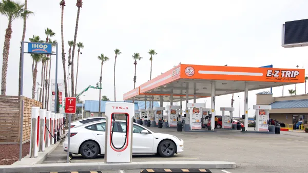
A pilot program will use GPS-enabled devices to track driving habits, allowing cities to use the data to create road pricing fee structures based on hyper-local and individual driving needs.

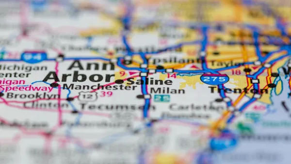
Utah announced a pilot program that could lead to “hyper-specific” road usage fees based on drivers’ specific driving habits and needs.
The program uses an electronic dongle to monitor exactly where, when, and how much people drive. “Then, communities can consolidate that data into a single road usage charge that can be automatically adjusted based on their unique priorities — think extra tolls for using the express lane, or graduated fees for low-income motorists who truly have to drive — and automatically distributed to the agencies that manage the exact roadways those drivers' actually traveled.”
The concept is one way to replace gas tax revenue that many states rely on heavily for transportation funding and that will rapidly shrink as electric vehicles become a larger share of the market. But it could face resistance from drivers with privacy concerns, Wilson notes. “Even if most U.S. drivers get past privacy concerns about equipping their vehicles with hyper-accurate GPS dongles and the dizzying network of high-tech eyes that are already watching them, they might fight back against being charged more for entering a busy downtown at rush hour, as New York City's long, messy congestion pricing fight has illustrated all too plainly.”
In the future, cities could use the technology to incentivize a reduction in driving or charge vehicles based on weight “to compensate for the extra damage they cause to roads (and the bodies of pedestrians they strike).”
FULL STORY: Utah’s ‘Road Usage Charging’ Pilot Could Finally Price the Roads Properly

Michigan Considers Mileage-Based Road Usage Fee Pilot Program
Exploring alternative road funding options is a priority for Michigan legislators to make up the state’s road funding gap.
California Poised to Lose Up to $4 Billion in Gas Tax Revenue
States must find other ways to fund transportation projects as the transportation sector moves toward decarbonization.
Over $14 Million Awarded to Eight Projects to Find Alternatives to Gas Taxes
The U.S. Department of Transportation is funding ways to transition from the gas tax to other user-based revenue mechanisms to fund transportation infrastructure. The federal gas tax hasn't keep pace with transportation expenditures since 2008.

National Parks Layoffs Will Cause Communities to Lose Billions
Thousands of essential park workers were laid off this week, just before the busy spring break season.

Retro-silient?: America’s First “Eco-burb,” The Woodlands Turns 50
A master-planned community north of Houston offers lessons on green infrastructure and resilient design, but falls short of its founder’s lofty affordability and walkability goals.

Delivering for America Plan Will Downgrade Mail Service in at Least 49.5 Percent of Zip Codes
Republican and Democrat lawmakers criticize the plan for its disproportionate negative impact on rural communities.

Test News Post 1
This is a summary

Test News Headline 46
Test for the image on the front page.

Balancing Bombs and Butterflies: How the National Guard Protects a Rare Species
The National Guard at Fort Indiantown Gap uses GIS technology and land management strategies to balance military training with conservation efforts, ensuring the survival of the rare eastern regal fritillary butterfly.
Urban Design for Planners 1: Software Tools
This six-course series explores essential urban design concepts using open source software and equips planners with the tools they need to participate fully in the urban design process.
Planning for Universal Design
Learn the tools for implementing Universal Design in planning regulations.
EMC Planning Group, Inc.
Planetizen
Planetizen
Mpact (formerly Rail~Volution)
Great Falls Development Authority, Inc.
HUDs Office of Policy Development and Research
NYU Wagner Graduate School of Public Service