


A group of resident advocates is challenging the Ohio Department of Transportation’s arguments in favor of a proposed interstate widening.
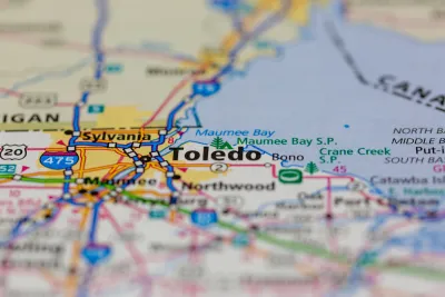
Residents in Toledo, Ohio are using data from the Ohio Department of Transportation (ODOT) to counter the department’s own narrative about its freeway expansion projects, reports Asia Mieleszko in Strong Towns.
When it comes to ODOT’s assertion that a proposed widening of Interstate 475 in Toledo is necessary for “traffic congestion reduction,” a group calling itself I-475 Neighbors Coalition argues that “In a national ranking of truck bottlenecks, the segment up for expansion sits at 7,608th place in the westbound lane and at 8,664th in the eastbound lane,” with just over one minute of time added to peak-hour trips due to congestion.
Local advocates are also using research on the phenomenon of induced demand to counter the agency’s assertions that expanding the freeway would reduce congestion at all. “Additionally, the costs—displacement of longtime residents, destruction of natural areas, deepening of car dependency—far outweigh the projected benefits,” going against the department’s stated commitment to the goals of Reconnecting Communities.
FULL STORY: Toledo Freeway Fighters Are Weaponizing ODOT’s Data Against It

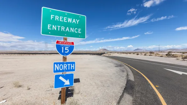
California Commission Approves Freeway Expansion
The state Transportation Commission ultimately voted to move a controversial Inland Empire interstate project forward.

Halted Interstate Expansion Could Proceed in Houston
Local and state officials have come to an ‘historic’ agreement that could move the stalled project forward.
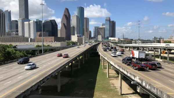
Houston Interstate Widening Continues To Threaten Communities
The proposed freeway expansion in downtown Houston has faced searing backlash from local residents who see the project as a relic of the era of rampant freeway construction and neighborhood disruption.

National Parks Layoffs Will Cause Communities to Lose Billions
Thousands of essential park workers were laid off this week, just before the busy spring break season.

Retro-silient?: America’s First “Eco-burb,” The Woodlands Turns 50
A master-planned community north of Houston offers lessons on green infrastructure and resilient design, but falls short of its founder’s lofty affordability and walkability goals.

Delivering for America Plan Will Downgrade Mail Service in at Least 49.5 Percent of Zip Codes
Republican and Democrat lawmakers criticize the plan for its disproportionate negative impact on rural communities.

Test News Post 1
This is a summary

Test News Headline 46
Test for the image on the front page.

Balancing Bombs and Butterflies: How the National Guard Protects a Rare Species
The National Guard at Fort Indiantown Gap uses GIS technology and land management strategies to balance military training with conservation efforts, ensuring the survival of the rare eastern regal fritillary butterfly.
Urban Design for Planners 1: Software Tools
This six-course series explores essential urban design concepts using open source software and equips planners with the tools they need to participate fully in the urban design process.
Planning for Universal Design
Learn the tools for implementing Universal Design in planning regulations.
EMC Planning Group, Inc.
Planetizen
Planetizen
Mpact (formerly Rail~Volution)
Great Falls Development Authority, Inc.
HUDs Office of Policy Development and Research
NYU Wagner Graduate School of Public Service