


Despite the state’s commitments to reducing driving and roadway expansions, Caltrans is proposing an expansion of Interstate 5 in far northern California.
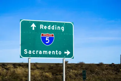
The California Department of Transportation (Caltrans) announced a proposed widening of Interstate 5 through Shasta County as part of an effort to “restore” the freeway through the area, reports Melanie Curry in Streetsblog California.
The agency’s website says adding a lane north of Redding “will provide a much smoother flow of traffic in the area over Hilltop Drive, a busy retail area in Redding.” Curry notes that the information currently available is limited, and the public must attend an in-person meeting on November 15 to get more.
“In the context of a state that claims it wants to invest in encouraging sustainable transportation, and is backing away from highway widenings that encourage car travel, there are many questions to ask,” Curry writes.
Curry questions why the project is needed, where funding would come from, as well as how the decision came about and other questions. “Does it make sense to spend money to speed vehicles through the region instead of improving transportation movement within it, where it has a bigger local impact?”
FULL STORY: Caltrans Plans I-5 Expansion in Shasta County


Portland Advocates Call on Feds to Oppose Freeway Expansion
The Oregon DOT is requesting a federal grant to fund a controversial freeway expansion through the Rose Quarter.

USDOT Denies Portland Freeway Expansion Grant
The agency declined the Oregon Department of Transportation’s request for $750 million to fund the I-5 Rose Quarter Improvement Project.
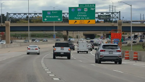
Milwaukee Environmental Groups Sue to Stop Freeway Expansion
Groups including the Sierra Club say the expansion of I-94 would negatively impact communities of color and increase flood risks.

National Parks Layoffs Will Cause Communities to Lose Billions
Thousands of essential park workers were laid off this week, just before the busy spring break season.

Retro-silient?: America’s First “Eco-burb,” The Woodlands Turns 50
A master-planned community north of Houston offers lessons on green infrastructure and resilient design, but falls short of its founder’s lofty affordability and walkability goals.

Delivering for America Plan Will Downgrade Mail Service in at Least 49.5 Percent of Zip Codes
Republican and Democrat lawmakers criticize the plan for its disproportionate negative impact on rural communities.

Test News Post 1
This is a summary

Test News Headline 46
Test for the image on the front page.

Balancing Bombs and Butterflies: How the National Guard Protects a Rare Species
The National Guard at Fort Indiantown Gap uses GIS technology and land management strategies to balance military training with conservation efforts, ensuring the survival of the rare eastern regal fritillary butterfly.
Urban Design for Planners 1: Software Tools
This six-course series explores essential urban design concepts using open source software and equips planners with the tools they need to participate fully in the urban design process.
Planning for Universal Design
Learn the tools for implementing Universal Design in planning regulations.
EMC Planning Group, Inc.
Planetizen
Planetizen
Mpact (formerly Rail~Volution)
Great Falls Development Authority, Inc.
HUDs Office of Policy Development and Research
NYU Wagner Graduate School of Public Service