


The BLM’s proposed maps could open up as much as 55 million acres to solar installations.

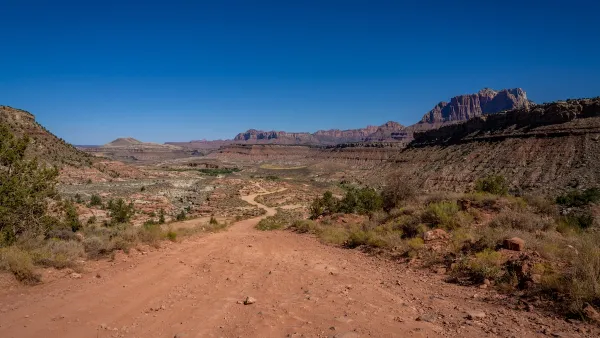
A debate over where to place solar installations on public lands is building in the West, writes Erin X. Wong in High Country News. In January, the Bureau of Land Management released a draft Western Solar Plan that offers five alternative maps for solar placement.
“The plan is focused on utility-scale solar projects that sell energy to utility companies that power cities and towns,” Wong explains. The plan estimates the West will produce 174.2 GW of power via solar installations, with up to 75 percent of arrays on BLM land.
Wong describes three of the plan’s proposed alternatives, which would allow solar development on anywhere between 11 million acres and 55 million acres, offering different levels of protection for cultural and ecological resources.
One alternative would open all land that doesn’t include protected resources, another would only open regions within a 10-mile radius of transmission lines, while a third would only make previously disturbed land available. “Ultimately, about 1 million acres of BLM land in the West will need to be developed to meet the nation’s clean energy goals, according to the draft analysis.” BLM says it will likely finalize the plan by the end of this year.
FULL STORY: The great solar build-out


BLM Allocates Funding to Study Renewables Impact on Public Lands
The large-scale study will assess how proposed solar farms and other renewable energy projects could impact animals, plants, and habitats.
Supreme Court Declines to Hear Utah’s Case Against the BLM
The state wants more local control of public lands not designated as national parks or monuments.

Key Wins for Conservation in 2024
The year brought some important victories to advocates for public lands, national monuments, and the reclamation of Indigenous history.

National Parks Layoffs Will Cause Communities to Lose Billions
Thousands of essential park workers were laid off this week, just before the busy spring break season.

Retro-silient?: America’s First “Eco-burb,” The Woodlands Turns 50
A master-planned community north of Houston offers lessons on green infrastructure and resilient design, but falls short of its founder’s lofty affordability and walkability goals.

Delivering for America Plan Will Downgrade Mail Service in at Least 49.5 Percent of Zip Codes
Republican and Democrat lawmakers criticize the plan for its disproportionate negative impact on rural communities.

Test News Post 1
This is a summary

Test News Headline 46
Test for the image on the front page.

Balancing Bombs and Butterflies: How the National Guard Protects a Rare Species
The National Guard at Fort Indiantown Gap uses GIS technology and land management strategies to balance military training with conservation efforts, ensuring the survival of the rare eastern regal fritillary butterfly.
Urban Design for Planners 1: Software Tools
This six-course series explores essential urban design concepts using open source software and equips planners with the tools they need to participate fully in the urban design process.
Planning for Universal Design
Learn the tools for implementing Universal Design in planning regulations.
EMC Planning Group, Inc.
Planetizen
Planetizen
Mpact (formerly Rail~Volution)
Great Falls Development Authority, Inc.
HUDs Office of Policy Development and Research
NYU Wagner Graduate School of Public Service