


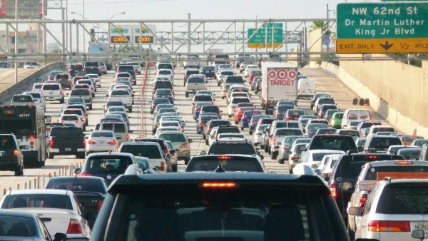
Density, weather, and access to public transportation systems play a key role in how many miles are driven in the country’s 50 largest metro areas.
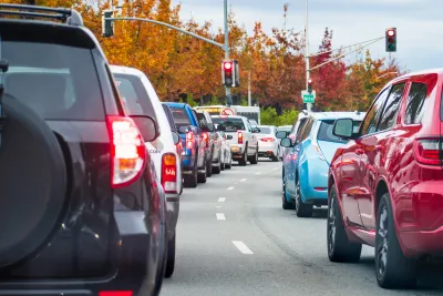
A recent analysis from Replica looked at 2023 data from the 50 largest metro areas in the United States and ranked them by 3 key metrics, including vehicle miles traveled per capita, walking mode share, and daily travel minutes for capita.
The highest levels of daily driving — which also correspond with some of the lowest numbers of trips taken via walking, according to the same analysis — occurred in Southern cities with lower density that lack robust public transportation systems and where summer weather is often too hot and humid for comfortable outdoor travel. The study also found that metro areas with greater population density largely had lower daily travel times compared to lower-density metro areas.
10 Metro Areas with Highest VMT Per Capita
- Raleigh, NC: 38.1 miles per weekday
- Birmingham-Hoover, AL: 36.1 miles per weekday
- Jacksonville, FL: 36 miles per weekday
- Nashville, TN: 35.5 miles per weekday
- Charlotte, NC: 35.5 miles per weekday
- Richmond, VA: 35.5 miles per weekday
- Memphis, TN: 35.2 miles per weekday
- Atlanta, GA: 33.6 miles per weekday
- St. Louis, MO: 32.7 miles per weekday
- Oklahoma City, OK: 32.5 miles per weekday
10 Metro Areas with Lowest VMT Per Capita
- New York City, NY-NJ-PA: 14.4 miles per weekday
- Philadelphia, PA: 21.1 miles per weekday
- San Francisco-Oakland, CA: 21.7 miles per weekday
- Chicago, IL: 21.8 miles per weekday
- Boston, MA: 22.8 miles per weekday
- Seattle, WA: 22.9 miles per weekday
- Portland, OR: 23.3 miles per weekday
- Las Vegas, NV: 23.6 miles per weekday
- Miami, FL: 23.7 miles per weekday
- Los Angeles, CA: 24.2 miles per weekday
FULL STORY: 2023 MSA Rankings

Moving Beyond Crash Statistics to Understand Road Safety
Why measuring traffic deaths alone doesn’t paint a full picture.
People on Bikes Outnumber Drivers in the City of London
The City of London’s efforts to increase biking and reduce driving has finally achieved a long-term goal: a preference for biking over driving.
The Cost of Driving Increasingly Out of Reach in the U.S.
New research stresses the importance of socioeconomic differences in U.S. transportation trends.

National Parks Layoffs Will Cause Communities to Lose Billions
Thousands of essential park workers were laid off this week, just before the busy spring break season.

Retro-silient?: America’s First “Eco-burb,” The Woodlands Turns 50
A master-planned community north of Houston offers lessons on green infrastructure and resilient design, but falls short of its founder’s lofty affordability and walkability goals.

Delivering for America Plan Will Downgrade Mail Service in at Least 49.5 Percent of Zip Codes
Republican and Democrat lawmakers criticize the plan for its disproportionate negative impact on rural communities.

Test News Post 1
This is a summary

Test News Headline 46
Test for the image on the front page.

Balancing Bombs and Butterflies: How the National Guard Protects a Rare Species
The National Guard at Fort Indiantown Gap uses GIS technology and land management strategies to balance military training with conservation efforts, ensuring the survival of the rare eastern regal fritillary butterfly.
Urban Design for Planners 1: Software Tools
This six-course series explores essential urban design concepts using open source software and equips planners with the tools they need to participate fully in the urban design process.
Planning for Universal Design
Learn the tools for implementing Universal Design in planning regulations.
EMC Planning Group, Inc.
Planetizen
Planetizen
Mpact (formerly Rail~Volution)
Great Falls Development Authority, Inc.
HUDs Office of Policy Development and Research
NYU Wagner Graduate School of Public Service