


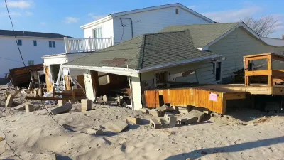
Agency-funded projects will be required to be elevated at least 2 feet above the projected local flood level.
A new policy from the Federal Emergency Management Agency (FEMA) will require projects using FEMA funding to demonstrate improved resilience, reports Julie Strupp for Construction Dive.
“Starting Sept. 9 new projects and infrastructure rebuilt after a disaster with FEMA funding must be elevated at least 2 feet above the area flood level, using up-to-date data and accounting for likely impacts of climate change, per the new Federal Flood Risk Management Standard,” Strupp explains. The rule aims to build resilience into the reconstruction process to protect infrastructure from future flooding.
The agency says previous approaches are outdated due to growing flood risk. “FEMA’s new standards will increase the flood elevation and the floodplain in order to reflect both current and future flood risk. The requirement that jurisdictions account for flooding that is likely to occur in the future under climate change is new.”
The new rule will apply to roughly 35,000 FEMA-funded projects in the next decade “involving new construction, substantial improvement or repairs to substantial damage, as well as to Hazard Mitigation Assistance projects involving structure elevation, dry floodproofing and mitigation reconstruction.”
FULL STORY: Federal infrastructure projects get a (flood) raise

New Study Reveals Massive, Unaccounted Flood Risk
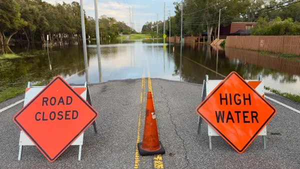
The Federal Emergency Management Agency undercounts the humber of homes at substantial risk of flooding by some 70 percent, according to a report released this week.
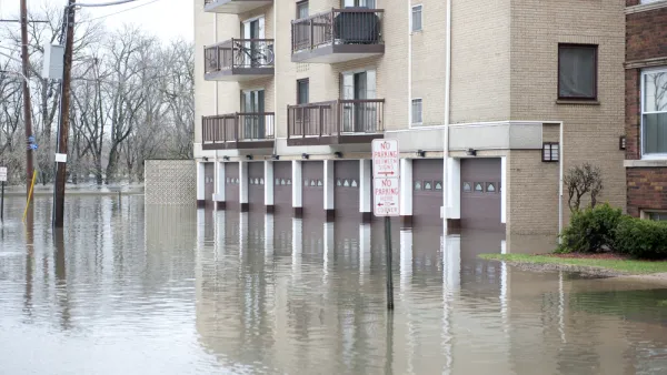
FEMA Suspends Flood Rebuilding Standard
The rule was designed to prevent the rebuilding of government-funded projects in areas prone to repeated floods.

FEMA Climate Resilience Loans Target Small Communities
A new loan program reduces the bureaucratic hurdles to implementing small-scale climate adaptation projects.

National Parks Layoffs Will Cause Communities to Lose Billions
Thousands of essential park workers were laid off this week, just before the busy spring break season.

Retro-silient?: America’s First “Eco-burb,” The Woodlands Turns 50
A master-planned community north of Houston offers lessons on green infrastructure and resilient design, but falls short of its founder’s lofty affordability and walkability goals.

Delivering for America Plan Will Downgrade Mail Service in at Least 49.5 Percent of Zip Codes
Republican and Democrat lawmakers criticize the plan for its disproportionate negative impact on rural communities.

Test News Post 1
This is a summary

Test News Headline 46
Test for the image on the front page.

Balancing Bombs and Butterflies: How the National Guard Protects a Rare Species
The National Guard at Fort Indiantown Gap uses GIS technology and land management strategies to balance military training with conservation efforts, ensuring the survival of the rare eastern regal fritillary butterfly.
Urban Design for Planners 1: Software Tools
This six-course series explores essential urban design concepts using open source software and equips planners with the tools they need to participate fully in the urban design process.
Planning for Universal Design
Learn the tools for implementing Universal Design in planning regulations.
EMC Planning Group, Inc.
Planetizen
Planetizen
Mpact (formerly Rail~Volution)
Great Falls Development Authority, Inc.
HUDs Office of Policy Development and Research
NYU Wagner Graduate School of Public Service