


Rapid population growth and limited pedestrian infrastructure puts people walking at higher risk.
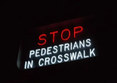
Memphis is the nation’s most dangerous city for pedestrians, according to a study from a Texas law firm. The Tennessee city has the highest rate of pedestrian fatalities per capita, with 13.4 deaths per 100,000 people. “That’s a stark warning for anyone walking the streets of this Tennessee city,” writes Sarah Kennedy in Motor Biscuit.
Memphis has a walkability score of 35 — not the lowest of the cities analyzed. That distinction goes to Charlotte, North Carolina, with a walkability score of 26. Phoenix, a city with a walkability score of 41 that dedicates 16 percent of the city to parks and green spaces, has the highest raw number of pedestrian fatalities (117) or 7.1 deaths per 100,000. “It seems that even with plenty of green spaces, safety isn’t guaranteed. Sources cite a lack of infrastructure, like sidewalks or crosswalks, in high-traffic areas.”
In places like Phoenix and Charlotte, new pedestrian infrastructure has not kept up with rapid population growth that adds both foot and vehicle traffic to city streets.
FULL STORY: The most dangerous city in the US for pedestrians isn’t even the least walkable

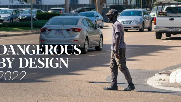
Dangerous By Design: 2022 Report Analyzes Rising Pedestrian Deaths
The report ranks the most dangerous states and metro areas for pedestrians, who died at higher rates during the pandemic despite reduced driving.

For Transportation Justice, Auto Safety Must Protect People Outside the Car
Light trucks are killing more pedestrians than ever while keeping their drivers and passengers safer. Is it time to reframe safety regulations?
Raleigh Announces Safe Streets Plan
The city wants to eliminate traffic deaths by 2045.

National Parks Layoffs Will Cause Communities to Lose Billions
Thousands of essential park workers were laid off this week, just before the busy spring break season.

Retro-silient?: America’s First “Eco-burb,” The Woodlands Turns 50
A master-planned community north of Houston offers lessons on green infrastructure and resilient design, but falls short of its founder’s lofty affordability and walkability goals.

Delivering for America Plan Will Downgrade Mail Service in at Least 49.5 Percent of Zip Codes
Republican and Democrat lawmakers criticize the plan for its disproportionate negative impact on rural communities.

Test News Post 1
This is a summary

Test News Headline 46
Test for the image on the front page.

Balancing Bombs and Butterflies: How the National Guard Protects a Rare Species
The National Guard at Fort Indiantown Gap uses GIS technology and land management strategies to balance military training with conservation efforts, ensuring the survival of the rare eastern regal fritillary butterfly.
Urban Design for Planners 1: Software Tools
This six-course series explores essential urban design concepts using open source software and equips planners with the tools they need to participate fully in the urban design process.
Planning for Universal Design
Learn the tools for implementing Universal Design in planning regulations.
EMC Planning Group, Inc.
Planetizen
Planetizen
Mpact (formerly Rail~Volution)
Great Falls Development Authority, Inc.
HUDs Office of Policy Development and Research
NYU Wagner Graduate School of Public Service