


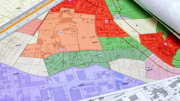
The online tool can help city and state officials understand where zoning codes need reform and how they compare to other localities.

The National Zoning Atlas, a project that seeks to help citizens and policymakers understand the zoning landscape in their areas, is expanding its reach rapidly, reports Elizabeth Daigneau in Route Fifty.
“Last week, the project announced the launch of the Arizona Zoning Atlas. Roughly 36 states have been mapped, some in their entirety and others just in certain metro areas or jurisdictions.” Data is almost complete for New Mexico and Nevada, with metro areas in the works in Colorado, New York, and North Carolina.
The project lets viewers compare zoning codes and access data about lot sizes, parking requirements, and other regulations. Vermont, the state with the largest average lot size at 1.8 acres, used the atlas maps to highlight the need for reduced lot sizes. “State officials used the Vermont Zoning Atlas to show residents how most Vermont towns disappear from the map when a user selects for areas where single-family homes are allowed on lots less than one-quarter acre.”
FULL STORY: See how your state uses zoning codes to control land use

How a National Zoning Atlas Can Clarify a Legal Patchwork
A massive effort is underway to compile local zoning regulations and other laws that impact how and where housing is built.

National Zoning Atlas Makes Headway
The project aims to bring zoning data from around the country into one database, making it easier for planners and researchers to compare policies and their impacts.

Colorado Bill Would Legalize Housing ‘In God’s Backyard’
Churches and religious institutions around the country are calling for zoning reforms that would allow them to build housing on their underused properties.

Analysis: Cybertruck Fatality Rate Far Exceeds That of Ford Pinto
The Tesla Cybertruck was recalled seven times last year.

National Parks Layoffs Will Cause Communities to Lose Billions
Thousands of essential park workers were laid off this week, just before the busy spring break season.

Retro-silient?: America’s First “Eco-burb,” The Woodlands Turns 50
A master-planned community north of Houston offers lessons on green infrastructure and resilient design, but falls short of its founder’s lofty affordability and walkability goals.

Test News Post 1
This is a summary

Analysis: Cybertruck Fatality Rate Far Exceeds That of Ford Pinto
The Tesla Cybertruck was recalled seven times last year.

Test News Headline 46
Test for the image on the front page.
Urban Design for Planners 1: Software Tools
This six-course series explores essential urban design concepts using open source software and equips planners with the tools they need to participate fully in the urban design process.
Planning for Universal Design
Learn the tools for implementing Universal Design in planning regulations.
EMC Planning Group, Inc.
Planetizen
Planetizen
Mpact (formerly Rail~Volution)
Great Falls Development Authority, Inc.
HUDs Office of Policy Development and Research
NYU Wagner Graduate School of Public Service