


Integrating Geographic Information Systems (GIS) into park planning enhances community health by promoting physical activity, supporting mental well-being, fostering social connectedness, and addressing public health crises and climate change.
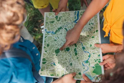
In today's urban environments, parks play a crucial role in enhancing physical, mental, and social well-being. As Este Geraghty shares in this article, the integration of Geographic Information Systems (GIS) into park planning and management has revolutionized how these green spaces are designed, ensuring they meet the diverse needs of communities. By analyzing data on park usage and mapping activity hotspots, GIS allows planners to optimize parks for physical activity, providing necessary facilities such as jogging paths and sports courts. This approach not only encourages more frequent and intense physical activity but also helps prevent chronic diseases like obesity and cardiovascular issues.
GIS technology is also instrumental in supporting mental health by improving access to parks and green spaces, which offer a respite from the stressors of urban life. By conducting gap analyses, planners can identify underserved communities and guide investments to improve park access, ensuring that all residents have the opportunity to benefit from these natural settings. Furthermore, GIS can help design therapeutic landscapes within parks that include elements like water features and greenery, which are proven to lower depression levels among individuals with regular park access.
Beyond individual health benefits, parks serve as vital communal spaces that foster social connectedness, a key component of overall well-being. GIS helps planners understand how parks are used for social interaction, allowing them to enhance these areas with amenities that encourage gatherings, such as picnic spots and playgrounds. Importantly, involving community members in the planning process through GIS visualization tools ensures that parks are designed to be inclusive and welcoming, thereby strengthening community bonds.
Lastly, the COVID-19 pandemic underscored the essential role of parks in public health, particularly as safe spaces for physical activity and social interaction when indoor facilities were closed. GIS has been invaluable in adapting park designs to meet public health guidelines, such as social distancing, and in mitigating climate change impacts by identifying areas at risk for extreme heat or flooding. By incorporating green infrastructure, parks can manage stormwater, reduce urban heat, and contribute to the resilience and sustainability of communities.
FULL STORY: Park Perspective Series: A Pathway to Healthier, Happier Communities with GIS


New Book Shows How Geographic Technology Tackles Global Challenges
In his new book, Jack Dangermond explores the transformative impact of GIS technology in solving global challenges through spatial data, highlighting its widespread application across sectors and its potential to design sustainable futures.

How the National Park Service Uses GIS
A new book demonstrates how the National Park Service uses GIS technology to meet its mission and showcases a selection of maps used for effectively managing national parks.

How GIS Helps Plan Parks
With constrained budgets, a geographic information system (GIS) may seem like a luxury for parks agencies. But to perform data-driven planning and advance park equity, GIS is an indispensable tool.

National Parks Layoffs Will Cause Communities to Lose Billions
Thousands of essential park workers were laid off this week, just before the busy spring break season.

Retro-silient?: America’s First “Eco-burb,” The Woodlands Turns 50
A master-planned community north of Houston offers lessons on green infrastructure and resilient design, but falls short of its founder’s lofty affordability and walkability goals.

Delivering for America Plan Will Downgrade Mail Service in at Least 49.5 Percent of Zip Codes
Republican and Democrat lawmakers criticize the plan for its disproportionate negative impact on rural communities.

Test News Post 1
This is a summary

Test News Headline 46
Test for the image on the front page.

Balancing Bombs and Butterflies: How the National Guard Protects a Rare Species
The National Guard at Fort Indiantown Gap uses GIS technology and land management strategies to balance military training with conservation efforts, ensuring the survival of the rare eastern regal fritillary butterfly.
Urban Design for Planners 1: Software Tools
This six-course series explores essential urban design concepts using open source software and equips planners with the tools they need to participate fully in the urban design process.
Planning for Universal Design
Learn the tools for implementing Universal Design in planning regulations.
EMC Planning Group, Inc.
Planetizen
Planetizen
Mpact (formerly Rail~Volution)
Great Falls Development Authority, Inc.
HUDs Office of Policy Development and Research
NYU Wagner Graduate School of Public Service