


Excessive speeding along dangerous segments of Roosevelt Boulevard dropped by 90 percent after the city installed automated enforcement cameras.
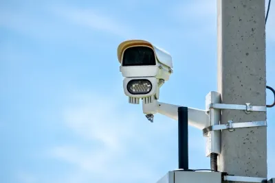
Traffic fatalities were cut in half along a Philadelphia boulevard after the city installed automated speed cameras. Writing in Smart Cities Dive, Dan Zukowski notes that Roosevelt Boulevard also saw a 90 percent reduction in excessive speeding in the seven months since the cameras’ installation.
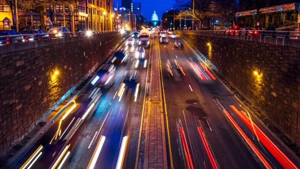
The 12-lane highway through densely populated neighborhoods in Northeast Philadelphia has a posted speed limit of 45 mph. A Streetlight Data analysis found that before speed cameras, the mean speed along one segment where there have been many fatal crashes was 51 mph at 8 a.m. on an average Tuesday.
The total number of crashes on the street fell by 36 percent in a year, while that number only fell by 6 percent across the entire city. While average speeds continue to decline along the segments with cameras, other parts of the boulevard continue to pose a threat to pedestrians, warranting additional safety improvements, according to an analysis by Streetlight Data. “In 2023 the state secured a $14.5 million federal grant that will go toward curb extensions, realigned crosswalks and lane configurations, improved traffic signals and new or renovated transit stops along Roosevelt Boulevard.”
FULL STORY: How Philadelphia cut crashes on one of its most dangerous roads

DC’s Traffic Cameras Are Working, but Not a Panacea
Automated enforcement is reducing speeding, but bigger changes to street design and the built environment are needed to make the District’s streets safer and more pleasant for people walking.

Banning Right Turns on Red Just One Step Toward Vision Zero
Experts caution that blanket bans on right turns on red make only a slight contribution to reducing fatal crashes, and other interventions are needed to bring down traffic fatalities.

Philly Road Safety Advocates Call for Action From the City
Mayor Parker’s administration is proposing massive cuts to the city’s Vision Zero program while pedestrian and cyclist deaths remain high.

National Parks Layoffs Will Cause Communities to Lose Billions
Thousands of essential park workers were laid off this week, just before the busy spring break season.

Retro-silient?: America’s First “Eco-burb,” The Woodlands Turns 50
A master-planned community north of Houston offers lessons on green infrastructure and resilient design, but falls short of its founder’s lofty affordability and walkability goals.

Delivering for America Plan Will Downgrade Mail Service in at Least 49.5 Percent of Zip Codes
Republican and Democrat lawmakers criticize the plan for its disproportionate negative impact on rural communities.

Test News Post 1
This is a summary

Test News Headline 46
Test for the image on the front page.

Balancing Bombs and Butterflies: How the National Guard Protects a Rare Species
The National Guard at Fort Indiantown Gap uses GIS technology and land management strategies to balance military training with conservation efforts, ensuring the survival of the rare eastern regal fritillary butterfly.
Urban Design for Planners 1: Software Tools
This six-course series explores essential urban design concepts using open source software and equips planners with the tools they need to participate fully in the urban design process.
Planning for Universal Design
Learn the tools for implementing Universal Design in planning regulations.
EMC Planning Group, Inc.
Planetizen
Planetizen
Mpact (formerly Rail~Volution)
Great Falls Development Authority, Inc.
HUDs Office of Policy Development and Research
NYU Wagner Graduate School of Public Service