


The Traffic Monitoring site uses community-collected speed and volume data to reveal traffic patterns on local roads.
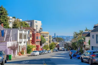
A new online tool compiles data from window-mounted computers that collect traffic data, reports Roger Rudick in Streetsblog San Francisco.
The tool brings together data from individually owned Telraam devices in the San Francisco Bay Area to allow road safety advocates to gain a better understanding of street safety and conditions.
As Rudick explains, “Residents on Lake Street in San Francisco purchased and installed the first Telraam sensors in North America and have sent several requests to SFMTA leadership begging the agency to acknowledge Telraam's data which shows daily vehicle volume and speeds exceeding thresholds set for Lake Street.” The city did not take action, saying it cannot use community-collected data to inform its decisions.
Now, the Traffic Monitoring map offers “a faster and easier way to interact with Telraam’s data so advocates can quickly pull insights from it.” Its creator, Stephen Braitsch, hopes the data will help move the needle on street safety.
FULL STORY: New ‘Traffic Monitoring’ Site Consolidates Data on Car Volumes & Speeds


NYC Congestion Pricing May Be Saving Lives
According to preliminary data, crashes and injuries dropped dramatically within the city’s new congestion relief zone.
California Adds Complete Streets to Transportation Funding Guidelines
The state transportation commission previously declined to include bike and pedestrian infrastructure in its updated funding guidelines, despite a new state law requiring Complete Streets efforts in all Caltrans projects.

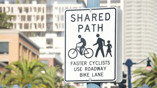
How Well Will San Francisco’s Daylighting Program Work?
Unlike other efforts to prevent cars from parking near intersections to improve visibility and road safety, San Francisco has no plans to install physical infrastructure to keep vehicles out of danger zones.

National Parks Layoffs Will Cause Communities to Lose Billions
Thousands of essential park workers were laid off this week, just before the busy spring break season.

Retro-silient?: America’s First “Eco-burb,” The Woodlands Turns 50
A master-planned community north of Houston offers lessons on green infrastructure and resilient design, but falls short of its founder’s lofty affordability and walkability goals.

Delivering for America Plan Will Downgrade Mail Service in at Least 49.5 Percent of Zip Codes
Republican and Democrat lawmakers criticize the plan for its disproportionate negative impact on rural communities.

Test News Post 1
This is a summary

Test News Headline 46
Test for the image on the front page.

Balancing Bombs and Butterflies: How the National Guard Protects a Rare Species
The National Guard at Fort Indiantown Gap uses GIS technology and land management strategies to balance military training with conservation efforts, ensuring the survival of the rare eastern regal fritillary butterfly.
Urban Design for Planners 1: Software Tools
This six-course series explores essential urban design concepts using open source software and equips planners with the tools they need to participate fully in the urban design process.
Planning for Universal Design
Learn the tools for implementing Universal Design in planning regulations.
EMC Planning Group, Inc.
Planetizen
Planetizen
Mpact (formerly Rail~Volution)
Great Falls Development Authority, Inc.
HUDs Office of Policy Development and Research
NYU Wagner Graduate School of Public Service