


How to use free online tools to redesign your local streetscape.
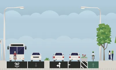
Have an idea for redesigning a dangerous street in your neighborhood? Andy Boenau, writing in Urbanism Speakeasy, explains how you can easily illustrate your proposed changes using Google Maps and a tool called Streetmix.
Boenau writes, “The point isn't to do the civil engineering work for [planners and engineers], or analyze the intersection operations for them, or determine where exactly bus stops should be. There is value in technical expertise.” But residents can help planners get ideas and understand transportation needs from a hyperlocal perspective.
Boenau outlines the five steps to designing a street with Streetmix. After finding out your street’s width using Google Maps, you can plug that number into Streetmix and begin designing your dream street.
FULL STORY: Anyone Can Redesign a Street. Here’s How.


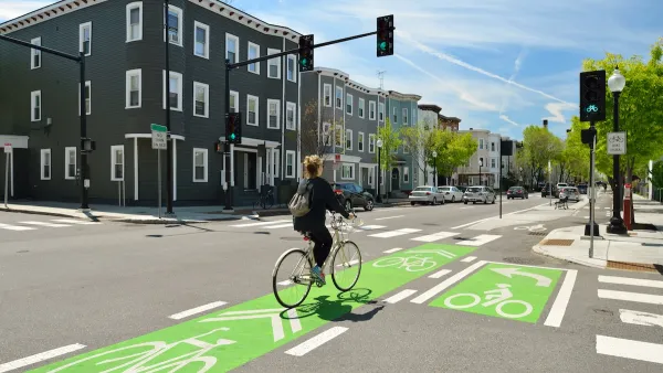
US Street Design Manual Inches Toward Safer Roads
The guiding document for U.S. road design is starting to recognize the needs of people walking and biking, but safe streets advocates say more significant changes are needed to reduce the high number of pedestrian deaths and improve connectivity for all road users.
Has Progress on Travel Safety Run Off the Road?
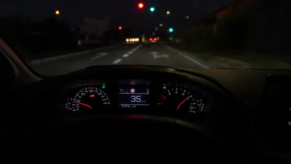
Changing technology and rebuilding infrastructure to improve road safety are long-term strategies. How can enforcement and interventions that influence driver behavior make a difference in reducing traffic deaths sooner?
NACTO Releases Updated Urban Bikeway Guide
The third edition of the nationally recognized road design guide includes detailed design advice for roads that prioritize safety and accessibility for all users.

National Parks Layoffs Will Cause Communities to Lose Billions
Thousands of essential park workers were laid off this week, just before the busy spring break season.

Retro-silient?: America’s First “Eco-burb,” The Woodlands Turns 50
A master-planned community north of Houston offers lessons on green infrastructure and resilient design, but falls short of its founder’s lofty affordability and walkability goals.

Delivering for America Plan Will Downgrade Mail Service in at Least 49.5 Percent of Zip Codes
Republican and Democrat lawmakers criticize the plan for its disproportionate negative impact on rural communities.

Test News Post 1
This is a summary

Test News Headline 46
Test for the image on the front page.

Balancing Bombs and Butterflies: How the National Guard Protects a Rare Species
The National Guard at Fort Indiantown Gap uses GIS technology and land management strategies to balance military training with conservation efforts, ensuring the survival of the rare eastern regal fritillary butterfly.
Urban Design for Planners 1: Software Tools
This six-course series explores essential urban design concepts using open source software and equips planners with the tools they need to participate fully in the urban design process.
Planning for Universal Design
Learn the tools for implementing Universal Design in planning regulations.
EMC Planning Group, Inc.
Planetizen
Planetizen
Mpact (formerly Rail~Volution)
Great Falls Development Authority, Inc.
HUDs Office of Policy Development and Research
NYU Wagner Graduate School of Public Service