


A stakeholder group hopes to create a pedestrian- and business-friendly streetscape in Downtown Seattle.
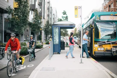
The Downtown Seattle Association has put forth several versions of a vision to transform Third Avenue—a busy corridor that sits at the center of the city's work to update its Transit Master Plan and implement its One Center City framework.
More than 52,000 passengers ride buses along Third Avenue every day. But over the next few years, the opening of the East Link, Lynnwood Link, and Federal Way Link light rail extensions might draw some of those riders away. In anticipation, the Downtown Seattle Association hopes to refocus Third Avenue bus service on connections to rail, as well as to reduce overall street space for both autos and buses (while preserving bus-only lanes) to provide more sidewalk space for retail.
In The Urbanist, Stephen Fesler compares several concepts put forth by the association, analyzing their advantages and drawbacks and including renderings. All proposals consider urban design, public space, activating ground-floor spaces, transportation operations, and long-term public-private management of the corridor. Any adopted plan would likely be phased in through 2035.
FULL STORY: Downtown Seattle Association Envisions A New Multimodal Third Avenue

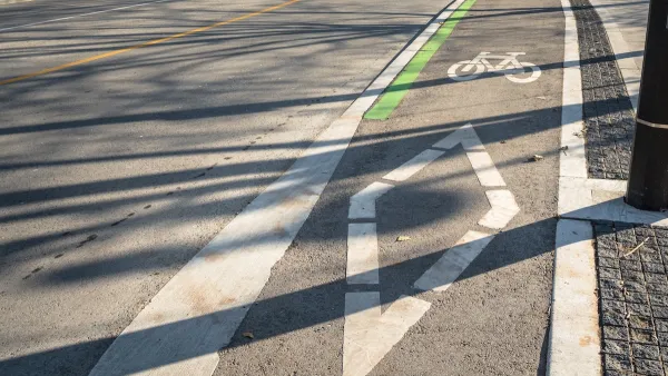
Cycletracks and Other Improvements Coming Soon to Downtown Los Angeles
Improvements funded by the developer of the 73-story Wilshire Grand project will make Downtown Los Angeles' main thoroughfare a better place to walk, bike, and use public transit.
A Troubling Trend of Backlash to Bike Lanes
Some cities are going so far as to rip out protected bike infrastructure that took years of advocacy to build.
California Legislature Issues Revised Budget Proposal
The new plan rejects some of Gov. Newsom’s proposed cuts to active transportation funding.

National Parks Layoffs Will Cause Communities to Lose Billions
Thousands of essential park workers were laid off this week, just before the busy spring break season.

Retro-silient?: America’s First “Eco-burb,” The Woodlands Turns 50
A master-planned community north of Houston offers lessons on green infrastructure and resilient design, but falls short of its founder’s lofty affordability and walkability goals.

Delivering for America Plan Will Downgrade Mail Service in at Least 49.5 Percent of Zip Codes
Republican and Democrat lawmakers criticize the plan for its disproportionate negative impact on rural communities.

Test News Post 1
This is a summary

Test News Headline 46
Test for the image on the front page.

Balancing Bombs and Butterflies: How the National Guard Protects a Rare Species
The National Guard at Fort Indiantown Gap uses GIS technology and land management strategies to balance military training with conservation efforts, ensuring the survival of the rare eastern regal fritillary butterfly.
Urban Design for Planners 1: Software Tools
This six-course series explores essential urban design concepts using open source software and equips planners with the tools they need to participate fully in the urban design process.
Planning for Universal Design
Learn the tools for implementing Universal Design in planning regulations.
EMC Planning Group, Inc.
Planetizen
Planetizen
Mpact (formerly Rail~Volution)
Great Falls Development Authority, Inc.
HUDs Office of Policy Development and Research
NYU Wagner Graduate School of Public Service