


Not all urban dwellers are as liberal as conventional wisdom would have us believe.

Rachael Dottle presents maps and data on the political segregation of U.S. cities, working to debunk one narrative about the political realities of big cities. That is, just because Democrats tend to win most of the votes in big cities, doesn't mean that there aren't any Republicans living in urban settings.
"Much has been made of the country’s urban-rural political divide, but almost every Democratic city has Republican enclaves, especially when you think about cities as more than just their downtowns," writes Dottle.
"It’s a sign of our polarized times that these Republicans aren’t evenly distributed across the city, of course. But it’s also a sign of how centuries of American history have shaped and continue to shape where we live — and who our neighbors are."
According to map that illustrates U.S. Census Bureau data, metropolitan areas get much more Republican where regions get less dense.
The article also adds a new wrinkle to this map-based analysis by creating a dissimilarity index: "basically, a number that tells us how separated its Republicans and Democrats are from one another, with higher numbers indicating more segregation."
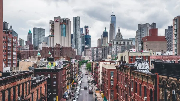
According to that index, the most politically segregated cities in the country are mostly found in the South. Jackson, Mississippi and then New Orleans lead the list. The first appearance of a city outside of the South is New York City at number ten.
FULL STORY: How Politically Segregated Is Your City?

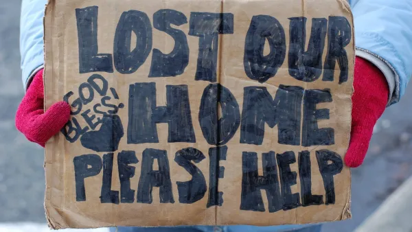
Which Cities Segregate Poverty Most Completely?
For the second installment in a five-part series on economic segregation in U.S. metros, Richard Florida examines the cities where poverty stays most hidden from "everyone else."
Segregation Not Going Away in American Cities
Recent figures from the 2010 U.S. Census highlighted the fact that many cities remain racially segregated. This commentary argues that this situation is unlikely to change.
Is the Urban Form Sustainable?
One author offers a framework for resilience that rethinks common assumptions about the inevitability of cities as we know them.

Analysis: Cybertruck Fatality Rate Far Exceeds That of Ford Pinto
The Tesla Cybertruck was recalled seven times last year.

National Parks Layoffs Will Cause Communities to Lose Billions
Thousands of essential park workers were laid off this week, just before the busy spring break season.

Retro-silient?: America’s First “Eco-burb,” The Woodlands Turns 50
A master-planned community north of Houston offers lessons on green infrastructure and resilient design, but falls short of its founder’s lofty affordability and walkability goals.

Test News Post 1
This is a summary

Analysis: Cybertruck Fatality Rate Far Exceeds That of Ford Pinto
The Tesla Cybertruck was recalled seven times last year.

Test News Headline 46
Test for the image on the front page.
Urban Design for Planners 1: Software Tools
This six-course series explores essential urban design concepts using open source software and equips planners with the tools they need to participate fully in the urban design process.
Planning for Universal Design
Learn the tools for implementing Universal Design in planning regulations.
EMC Planning Group, Inc.
Planetizen
Planetizen
Mpact (formerly Rail~Volution)
Great Falls Development Authority, Inc.
HUDs Office of Policy Development and Research
NYU Wagner Graduate School of Public Service