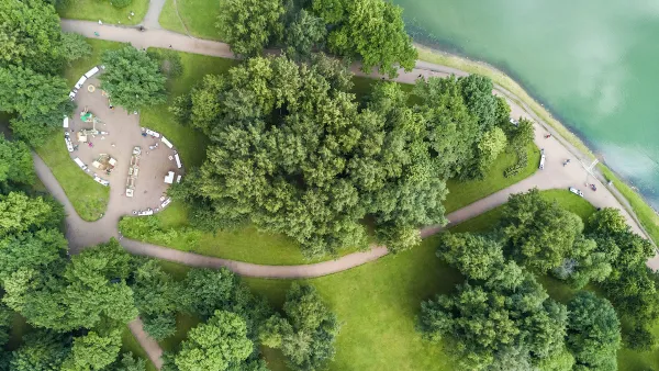
A variety of new tools can help with community engagement and data collection and analysis for park planning projects.

Due to the COVID-19 pandemic, many community meetings shifted online in the past two-plus years. While not ideal, virtual engagement does offer certain benefits, such as making it easier for some members of the public to participate in meetings from the comfort of their homes without having to travel or arrange for childcare. In this article, park planner Clement Lau discusses the use of the latest tools for community engagement, and data collection and analysis, focusing on the following topics:
- Map-based Surveys
- Live Polling
- Live Notetaking
- Use of Data from Fitness Apps
- Use of Cellphone Generated Human Mobility Data
Nothing can replace the connections and opportunities for relationship-building that in-person meetings and other activities provide. However, there are tools that can help make virtual meetings more engaging, interactive and even fun. Also, online surveys can be much more relatable and visually appealing (than just a standard list of questions) when interactive maps, photos and graphics are included. In addition, there are now sources through which accurate mobility data may be acquired to measure park access, usage, and visitorship without conducting labor- and time-intensive studies at individual park sites.
While there are certainly limitations and costs associated with the use of technology and the above tools and data sources, it is becoming increasingly important that park planners add tech-savviness to good old-fashioned customer service in order to better understand and meet the needs of communities.
FULL STORY: Tech-Savvy Park Planning

National Parks Layoffs Will Cause Communities to Lose Billions
Thousands of essential park workers were laid off this week, just before the busy spring break season.

Retro-silient?: America’s First “Eco-burb,” The Woodlands Turns 50
A master-planned community north of Houston offers lessons on green infrastructure and resilient design, but falls short of its founder’s lofty affordability and walkability goals.

Delivering for America Plan Will Downgrade Mail Service in at Least 49.5 Percent of Zip Codes
Republican and Democrat lawmakers criticize the plan for its disproportionate negative impact on rural communities.

Test News Post 1
This is a summary

Test News Headline 46
Test for the image on the front page.

Balancing Bombs and Butterflies: How the National Guard Protects a Rare Species
The National Guard at Fort Indiantown Gap uses GIS technology and land management strategies to balance military training with conservation efforts, ensuring the survival of the rare eastern regal fritillary butterfly.
Urban Design for Planners 1: Software Tools
This six-course series explores essential urban design concepts using open source software and equips planners with the tools they need to participate fully in the urban design process.
Planning for Universal Design
Learn the tools for implementing Universal Design in planning regulations.
EMC Planning Group, Inc.
Planetizen
Planetizen
Mpact (formerly Rail~Volution)
Great Falls Development Authority, Inc.
HUDs Office of Policy Development and Research
NYU Wagner Graduate School of Public Service


