


Tying housing and land acquisition funding to transit projects could make dense, walkable development easier and more cost-effective.
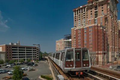
Federal funding for transit-oriented development (TOD) is often siloed into its separate transportation and housing elements, making it more difficult to build developments that ostensibly combine transportation and housing to create more walkable and affordable communities.
As Kalena Thomhave explains in Smart Cities Dive, this is a problem because transit agencies often don’t own enough land to make development near stations possible. An analysis from the Urban Institute found that “housing is much more likely to be built far from transit, where land and housing costs are lower. Between 2000 and 2019, more than eight times as many housing units were built far from transit than nearby, according to the analysis.”
Cities can promote the integration of housing and transportation by creating a “dedicated land acquisition program” that would be tasked with identifying land acquisition opportunities near transit stations and tie funding for housing programs to transportation projects. In Seattle, Sound Transit has completed several TOD projects that pair new housing with light rail lines.
FULL STORY: How to ease the path to transit-oriented housing development


Research: Sprawl Linked to Poverty
Low-income families living in high-sprawl neighborhoods are limited in their access to education, jobs, and other amenities, often trapping them in a cycle of poverty.

Study: Automobile Dependency Reduces Life Satisfaction
Automobile dependency has negative implications for wellbeing. This academic study finds that relying on a car for more than 50 percent of out-of-home travel is associated with significant reductions in life satisfaction.
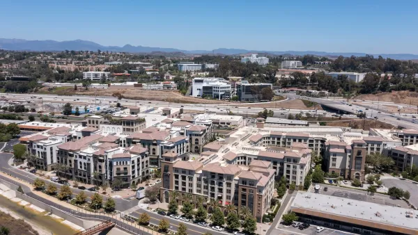
Balancing TOD and Public Health
Building housing near transportation networks can improve density and walkability, but can also have serious health consequences for residents.

National Parks Layoffs Will Cause Communities to Lose Billions
Thousands of essential park workers were laid off this week, just before the busy spring break season.

Retro-silient?: America’s First “Eco-burb,” The Woodlands Turns 50
A master-planned community north of Houston offers lessons on green infrastructure and resilient design, but falls short of its founder’s lofty affordability and walkability goals.

Delivering for America Plan Will Downgrade Mail Service in at Least 49.5 Percent of Zip Codes
Republican and Democrat lawmakers criticize the plan for its disproportionate negative impact on rural communities.

Test News Post 1
This is a summary

Test News Headline 46
Test for the image on the front page.

Balancing Bombs and Butterflies: How the National Guard Protects a Rare Species
The National Guard at Fort Indiantown Gap uses GIS technology and land management strategies to balance military training with conservation efforts, ensuring the survival of the rare eastern regal fritillary butterfly.
Urban Design for Planners 1: Software Tools
This six-course series explores essential urban design concepts using open source software and equips planners with the tools they need to participate fully in the urban design process.
Planning for Universal Design
Learn the tools for implementing Universal Design in planning regulations.
EMC Planning Group, Inc.
Planetizen
Planetizen
Mpact (formerly Rail~Volution)
Great Falls Development Authority, Inc.
HUDs Office of Policy Development and Research
NYU Wagner Graduate School of Public Service