


Explore how cities can use financial data to enhance urban planning, improve budget allocation, and boost community services.


With financial data, urban planners make smarter decisions and support sustainable growth.
Importance of financial data for smart urban planning
Financial data allows urban planners to create more efficient cities. Take a look at why this data is essential for urban planning initiatives.
Facilitates decision-making and planning
With sound evidence based on financial data, experts can adopt strategies to make a city more efficient and convenient. For example, identifying economic hot spots where people frequently spend money can tell city planners where to invest in revitalization projects.
Improves life for residents
Are people from different counties traveling to one specific grocery store? Are they spending more money at their favorite stores, even if they’re farther away from their homes? Looking at consumer spending patterns can help city planners determine where building new stores or shopping centers might be beneficial, making life more convenient for residents.
How can city planners use financial data?
Here are some ways financial data can be used in urban planning.
1. Reduce the number of food deserts
People living in food deserts can experience health issues like diabetes, cardiovascular disease and micronutrient deficiencies. City planners can help using financial data to identify areas with limited access to fresh food.
If city planners identify areas without sufficient access to healthy food, they can focus on building grocery stores or supermarkets to help residents improve their health and their overall quality of life.
2. Identify economic hot spots
Are spending trends higher in one area of the city than the others? What types of stores and businesses already exist there? Is there a gap that a new business could fill?
Say spending patterns are higher in an area with an upscale Italian restaurant, a boutique and a bookstore. In this area, there might be the potential for a small grocery store, a coffee shop or a pharmacy.
City planners can analyze credit card, mobile pay and point-of-sale data to determine economic hot spots and make them more attractive to new businesses.
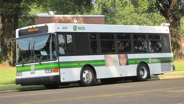
3. Optimize public transportation
Explore transit payment data to determine where there is a high need for public transportation options and identify opportunities for improvement. For example, if many people rely on buses to get to work, city planners might invest in creating more bus lines to help keep things less crowded. Working with a certified public accountant can help urban planners manage their accounting and ensure projects are economically viable and sustainable.
4. Identify thriving industries
Financial data can reveal growing industries within a city. For example, the fintech, information technology, software and health care industries are booming in Chicago.
Urban planners who identify emerging industries in their cities can attract new companies, which helps create more jobs.
5. Make payment transactions smarter
City planners focused on going digital and making their cities smarter can use financial data to determine where cash is still the primary transaction method. For example, if research finds that most people still pay for public transportation via cash, there may be an opportunity to encourage card payments.
Integrating financial data into existing urban planning tools
Explore how cities can use financial data alongside existing tools.
Geographic Information Systems (GIS)
GIS interprets geospatial data and provides information on patterns and trends. It is already used extensively in urban planning — in fact, GIS is expected to grow at a compound annual growth rate of 13.07 percent between 2024 and 2031.
GIS can help organize and manage financial data. It reveals patterns to help city planners make more informed decisions. For example, in Los Angeles, GIS software helps plan for employment and housing growth.
Data visualization software
Data visualization software converts raw data into visual elements like charts, graphs, and maps, which makes it much easier to process.
When working on urban planning initiatives, professionals can turn their data about spending habits across different zones into easily digestible graphs. They can also use maps to determine where people shop.
Financial data empowers smart and sustainable cities
Financial data can help urban planners make more informed decisions that benefit their residents and attract new businesses. They can use GIS and data visualization software to organize their data and make it easier to process.


Rethinking Suburban Development: New Trends in Creating Livable Communities
Discover new trends in suburban development focused on creating more livable, sustainable communities for future growth.

Planning Year in Review 2024: An Ongoing Housing Crisis, the Fight for Climate Resilience, and a Mixed Bag for Transportation
A pedestrian safety crisis, rising housing instability, and destructive extreme weather events set the stage for an eventful year.
Limited Transit Access Stifling Memphis Economy
The city ranks low for transit access to jobs, limiting opportunities for local workers and businesses.

National Parks Layoffs Will Cause Communities to Lose Billions
Thousands of essential park workers were laid off this week, just before the busy spring break season.

Retro-silient?: America’s First “Eco-burb,” The Woodlands Turns 50
A master-planned community north of Houston offers lessons on green infrastructure and resilient design, but falls short of its founder’s lofty affordability and walkability goals.

Delivering for America Plan Will Downgrade Mail Service in at Least 49.5 Percent of Zip Codes
Republican and Democrat lawmakers criticize the plan for its disproportionate negative impact on rural communities.

Test News Post 1
This is a summary

Test News Headline 46
Test for the image on the front page.

Balancing Bombs and Butterflies: How the National Guard Protects a Rare Species
The National Guard at Fort Indiantown Gap uses GIS technology and land management strategies to balance military training with conservation efforts, ensuring the survival of the rare eastern regal fritillary butterfly.
Urban Design for Planners 1: Software Tools
This six-course series explores essential urban design concepts using open source software and equips planners with the tools they need to participate fully in the urban design process.
Planning for Universal Design
Learn the tools for implementing Universal Design in planning regulations.
EMC Planning Group, Inc.
Planetizen
Planetizen
Mpact (formerly Rail~Volution)
Great Falls Development Authority, Inc.
HUDs Office of Policy Development and Research
NYU Wagner Graduate School of Public Service