


A patchwork of definitions of rural versus urban areas has real consequences for communities seeking federal funding.
What does rural mean? Far from a purely philosophical or linguistic exercise, this question — and how its answer is defined by the government — has major impacts on how federal funds and grants are distributed.
As Christopher Chavis explains in Daily Yonder, there is no uniform definition of rural areas at the federal level. Consequently, federal agencies classify the same places differently. Some agencies classify rural areas at the county level, while others use Census Tracts to define urban and rural areas.
Chavis points to examples in California’s San Bernardino County, where arguably rural communities in deserts far from major cities are classified as urban by some federal agencies. “This can create a confusing landscape for local governments and non-profits. It also means that some opportunities are simply unavailable to these communities. It also distorts any count of rural people.”
Chavis calls for a nationwide definition of rural places that would eliminate confusion, make federal funding more accessible, and direct resources where they are most needed.
FULL STORY: Commentary: The Definition of Rural

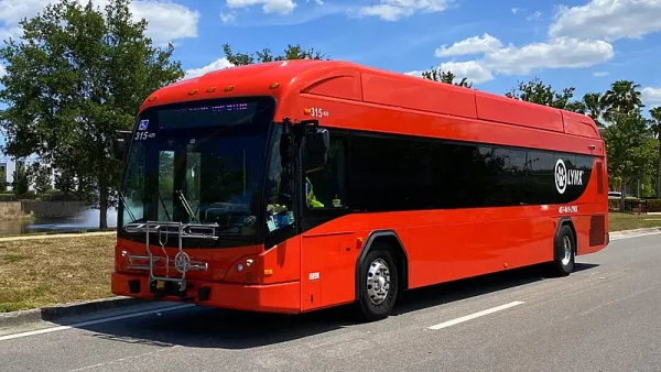
Central Florida Wins $300,000 Transit-Oriented Development Grant
A federal grant designed to address climate change and environmental justice will help fund nine new bus rapid transit stations in Central Florida.
Top Republicans Encourage Governors to Ignore FHWA Guidance
Senators McConnell and Capito reject the administration's efforts to steer federal funds to infrastructure projects that prioritize road maintenance and transit and pedestrian improvements over new road construction.
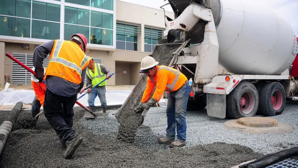
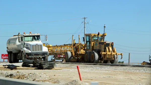
Small Communities Could Lose Out on Infrastructure Funding
Awarding federal funding via competitive grants could block grant opportunities for communities that need them the most.

National Parks Layoffs Will Cause Communities to Lose Billions
Thousands of essential park workers were laid off this week, just before the busy spring break season.

Retro-silient?: America’s First “Eco-burb,” The Woodlands Turns 50
A master-planned community north of Houston offers lessons on green infrastructure and resilient design, but falls short of its founder’s lofty affordability and walkability goals.

Delivering for America Plan Will Downgrade Mail Service in at Least 49.5 Percent of Zip Codes
Republican and Democrat lawmakers criticize the plan for its disproportionate negative impact on rural communities.

Test News Post 1
This is a summary

Test News Headline 46
Test for the image on the front page.

Balancing Bombs and Butterflies: How the National Guard Protects a Rare Species
The National Guard at Fort Indiantown Gap uses GIS technology and land management strategies to balance military training with conservation efforts, ensuring the survival of the rare eastern regal fritillary butterfly.
Urban Design for Planners 1: Software Tools
This six-course series explores essential urban design concepts using open source software and equips planners with the tools they need to participate fully in the urban design process.
Planning for Universal Design
Learn the tools for implementing Universal Design in planning regulations.
EMC Planning Group, Inc.
Planetizen
Planetizen
Mpact (formerly Rail~Volution)
Great Falls Development Authority, Inc.
HUDs Office of Policy Development and Research
NYU Wagner Graduate School of Public Service