


Let's begin by killing off one of the cherished half-truths about Vancouver.Vancouver, it is said, is the only major city in North America without freeways.
Vancouver, it is said, is the only major city in North America without freeways.
Partly true. In the early 1970s, the citizens of this city, like many others in North America, killed the plans for a spoke-and-hub freeway network modelled on the American Interstate system that would have thrust through the inner-ring suburbs into the downtown core. And because Canada was some years behind the States and didn't have a federal Highway Trust Fund, no concrete was laid before the plans were scrapped.
But that was true only for the freeways that would have entered the City of Vancouver proper – just one of the 21 municipalities that make up Greater Vancouver. Elsewhere, the provincial and federal governments successfully laid asphalt for the Trans-Canada Highway and connections to I-5 at the border. And it was those freeways and the arterial grid that shaped the region's future: the suburbs beyond the traditional streetcar city would be designed and zoned on the assumption that almost everyone would drive everywhere for everything.
Today, most of Greater Vancouver looks indistinguishable from standard North American suburban sprawl - the city designed according to the ITE Handbook. When, in 1942, the Institute of Transportation Engineers consolidated the codes needed to ensure "the efficient, free and rapid flow of traffic," it created the template that the incorporating post-war suburbs could adopt as the basis for their urban planning.
The City of Vancouver, however, chose a different direction. All City Councils since the 1970s, regardless of ideology, have reiterated a policy that there will be no more room for single-occupancy vehicles: no more roads, not even any more road-widening, save for the few places not already developed. From then on, resources were increasingly devoted to a priority list that puts the pedestrian in first place, followed by cyclists, transit users, and then the car drivers.
And while critics would maintain that there hasn't been a full commitment to those priorities, the City was the first to introduce permanent traffic-calming in North America, a leader in developing high-density neighbourhoods organized around greenways, a leader in accessible design, a leader in developing a bikeway network, and, above all, a leader in saying no to more roads.
And Vancouver ended up being, by several surveys, the most livable city in the world.
Not a coincidence.
Unfortunately, the lessons were not taken seriously by the highway planners and politicians who still run the provincial Ministry of Transport. Successfully lobbied by the trucking lobby, road builders and business leaders, the province is fully committed to expanding the freeway system in almost every direction, locking the next generation into their cars and trucks. Even though they know it won't work, have nowhere to point to for a successful model, and don't care.
So now there are two Vancouvers, each heading in a different direction: one, with its 19th-century grid and streetcar fabric still intact, serving as a high-density model for the 21st century. The other, as the project manager for the freeway expansion recently said, "completing the transportation vision of the 1960s."

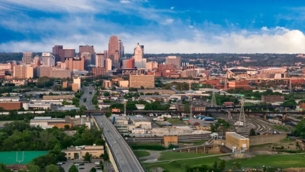
'Economic Mapping' to Help Regional Planning
Identifying potential hubs and activity centers allows regions to foster economic growth and density.
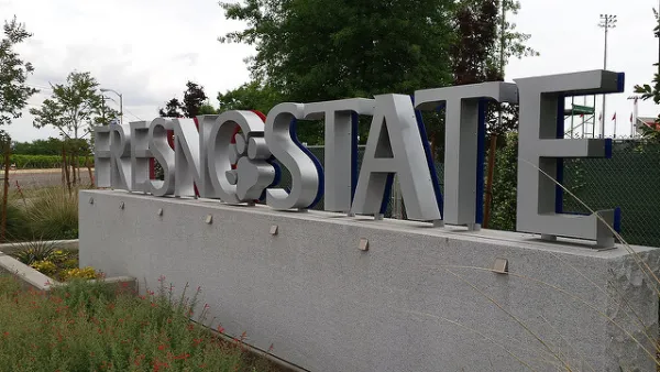
FresYes: How Fresno Fueled and Funded a Comeback
Recently termed-out Mayor Ashley Swearengin sits down for an exclusive interview about how she planned for high speed rail investments, championed sustainable water management, and took steps to rebuild the local economy.
A $350 Million Bond to Repair San Francisco's Seawall
As seas rise, San Francisco is looking to shore up its costal protection against earthquakes and extreme weather events.

National Parks Layoffs Will Cause Communities to Lose Billions
Thousands of essential park workers were laid off this week, just before the busy spring break season.

Retro-silient?: America’s First “Eco-burb,” The Woodlands Turns 50
A master-planned community north of Houston offers lessons on green infrastructure and resilient design, but falls short of its founder’s lofty affordability and walkability goals.

Delivering for America Plan Will Downgrade Mail Service in at Least 49.5 Percent of Zip Codes
Republican and Democrat lawmakers criticize the plan for its disproportionate negative impact on rural communities.

Test News Post 1
This is a summary

Test News Headline 46
Test for the image on the front page.

Balancing Bombs and Butterflies: How the National Guard Protects a Rare Species
The National Guard at Fort Indiantown Gap uses GIS technology and land management strategies to balance military training with conservation efforts, ensuring the survival of the rare eastern regal fritillary butterfly.
Urban Design for Planners 1: Software Tools
This six-course series explores essential urban design concepts using open source software and equips planners with the tools they need to participate fully in the urban design process.
Planning for Universal Design
Learn the tools for implementing Universal Design in planning regulations.
EMC Planning Group, Inc.
Planetizen
Planetizen
Mpact (formerly Rail~Volution)
Great Falls Development Authority, Inc.
HUDs Office of Policy Development and Research
NYU Wagner Graduate School of Public Service